The westernmost point of Mainland Japan things to do, attractions, restaurants, events info and trip planning
Basic Info
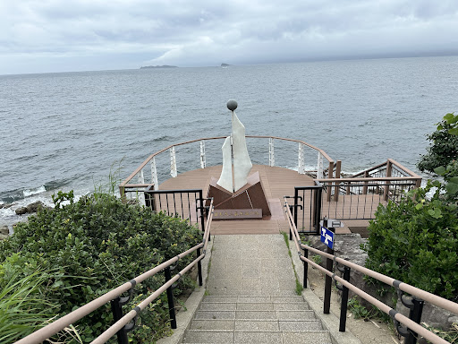
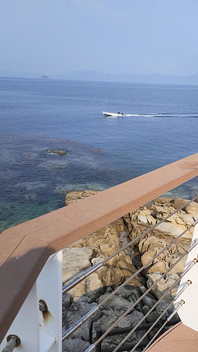
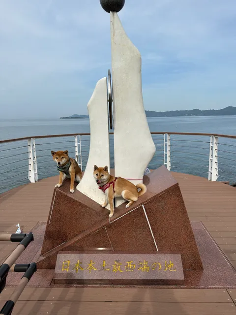
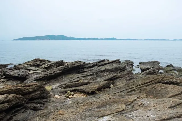
The westernmost point of Mainland Japan
354-12 Kosazacho Kusudomari, Sasebo, Nagasaki 857-0413, Japan
4.3(468)
Open until 12:00 AM
Save
spot
spot
Ratings & Description
Info
Outdoor
Scenic
attractions: Kozakibana Park, restaurants: , local businesses:
Phone
+81 956-24-1111
Website
city.sasebo.lg.jp
Open hoursSee all hours
WedOpen 24 hoursOpen
Plan your stay

Pet-friendly Hotels in Sasebo
Find a cozy hotel nearby and make it a full experience.

Affordable Hotels in Sasebo
Find a cozy hotel nearby and make it a full experience.

The Coolest Hotels You Haven't Heard Of (Yet)
Find a cozy hotel nearby and make it a full experience.

Trending Stays Worth the Hype in Sasebo
Find a cozy hotel nearby and make it a full experience.
Reviews
Nearby attractions of The westernmost point of Mainland Japan
Kozakibana Park
Kozakibana Park
4.3
(406)
Open until 12:00 AM
Click for details