Genbudo Park things to do, attractions, restaurants, events info and trip planning

Basic Info
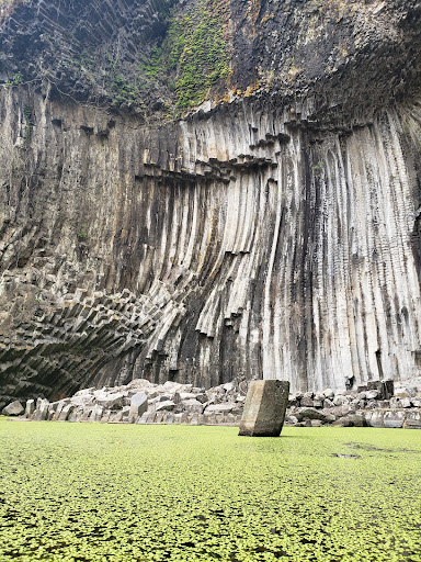
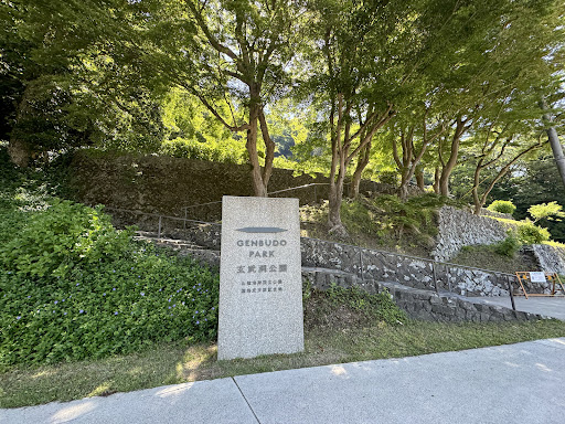
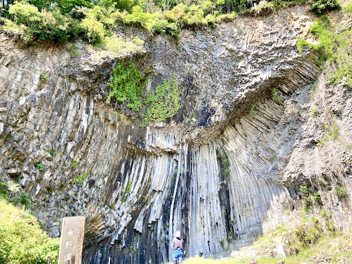
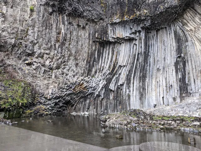
Genbudo Park
1347 Akaishi, Toyooka, Hyogo 668-0801, Japan
4.1(1.6K)
Closed


tickets
Save
spot
spot
Ratings & Description
Info
Outdoor
Cultural
Family friendly
attractions: Genbudo Museum, Seiryudo, restaurants: Restaurant & Cafe Genbudo, local businesses:
Phone
+81 796-22-4774
Website
genbudo-park.jp
Open hoursSee all hours
Tue9 AM - 5 PMClosed
Plan your stay

Pet-friendly Hotels in Toyooka
Find a cozy hotel nearby and make it a full experience.

Affordable Hotels in Toyooka
Find a cozy hotel nearby and make it a full experience.

The Coolest Hotels You Haven't Heard Of (Yet)
Find a cozy hotel nearby and make it a full experience.

Trending Stays Worth the Hype in Toyooka
Find a cozy hotel nearby and make it a full experience.
Reviews
Live events

Experience at Takeno Sake Brewery Sake tasting & brewery tour
Wed, Feb 25 • 9:00 AM
627-0111, Kyoto, Kyotango, Japan
View details
Nearby attractions of Genbudo Park
Genbudo Museum
Seiryudo
Genbudo Museum
4.0
(472)
Closed
Click for details
Seiryudo
4.3
(87)
Closed
Click for details
Nearby restaurants of Genbudo Park
Restaurant & Cafe Genbudo
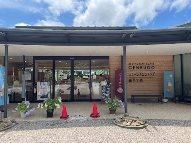
Restaurant & Cafe Genbudo
3.8
(50)
Closed
Click for details