Mount Chōkai things to do, attractions, restaurants, events info and trip planning
Basic Info
Mount Chōkai
Fukura, Yuza, Akumi District, Yamagata 999-8521, Japan
4.6(225)
Open 24 hours
Save
spot
spot
Ratings & Description
Info
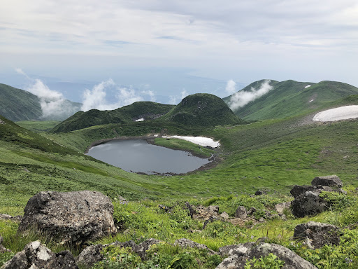
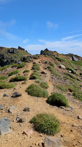
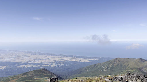
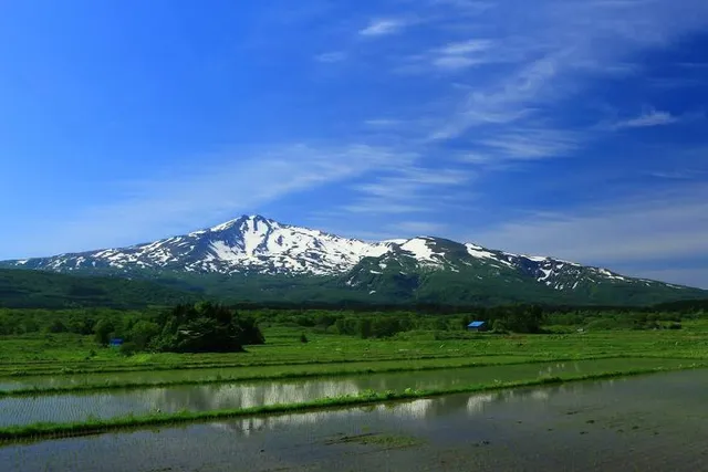
Mount Chōkai is an active volcano located on the southern border of Akita and Yamagata in the Tōhoku region of Japan, and is 2,236 m tall. Because of its symmetrical shape and massive size, it is also variously known as Dewa Fuji, Akita Fuji or Shōnai Fuji depending on the location of the viewer.
Outdoor
Adventure
Scenic
Cultural
Off the beaten path
attractions: , restaurants: , local businesses:
Plan your stay

Pet-friendly Hotels in Yuza
Find a cozy hotel nearby and make it a full experience.

Affordable Hotels in Yuza
Find a cozy hotel nearby and make it a full experience.

The Coolest Hotels You Haven't Heard Of (Yet)
Find a cozy hotel nearby and make it a full experience.

Trending Stays Worth the Hype in Yuza
Find a cozy hotel nearby and make it a full experience.
Reviews
Live events

Experience at Tatenokawa Brewery
Sake tasting & brewery tour
Wed, Jan 21 • 9:00 AM
999-6724, Yamagata, Sakata, Japan
View details