Taborkalns sightseeing tower things to do, attractions, restaurants, events info and trip planning
LatviaTaborkalns sightseeing tower
Basic Info
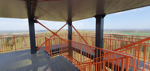
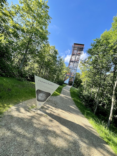
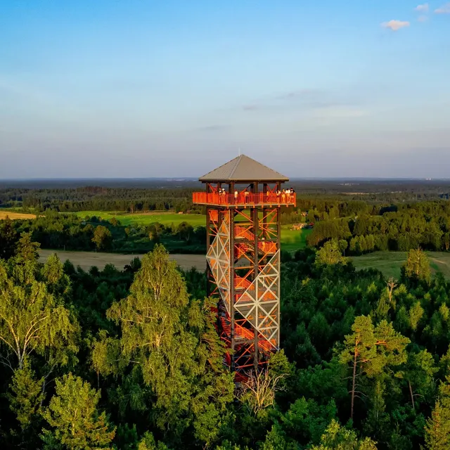
Taborkalns sightseeing tower
Unnamed Road, Sēlpils pagasts, LV-5232, Latvia
4.9(157)
Open until 12:00 AM
Save
spot
spot
Ratings & Description
Info
Outdoor
Scenic
Adventure
attractions: , restaurants: , local businesses:
Open hoursSee all hours
SatOpen 24 hoursOpen
Plan your stay

Pet-friendly Hotels in Latvia
Find a cozy hotel nearby and make it a full experience.

Affordable Hotels in Latvia
Find a cozy hotel nearby and make it a full experience.

The Coolest Hotels You Haven't Heard Of (Yet)
Find a cozy hotel nearby and make it a full experience.

Trending Stays Worth the Hype in Latvia
Find a cozy hotel nearby and make it a full experience.