Bukit Putus (Gunung Angsi Trailhead) things to do, attractions, restaurants, events info and trip planning
Basic Info
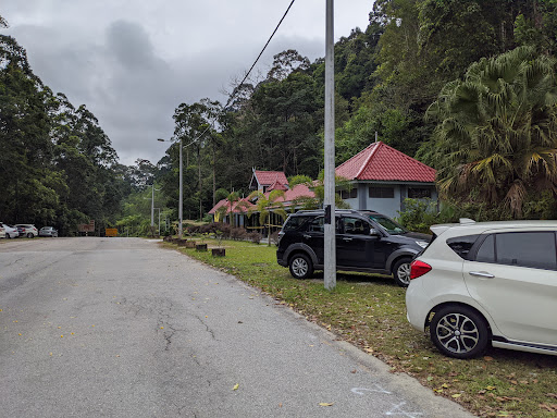
Bukit Putus (Gunung Angsi Trailhead)
Jalan Kuala Pilah, Seremban, Negeri Sembilan, Malaysia
4.6(424)
Open until 12:00 AM
Save
spot
spot
Ratings & Description
Info
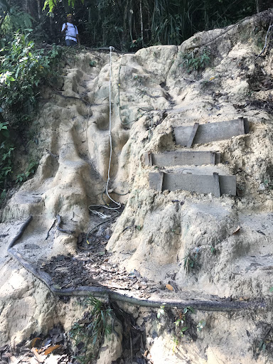
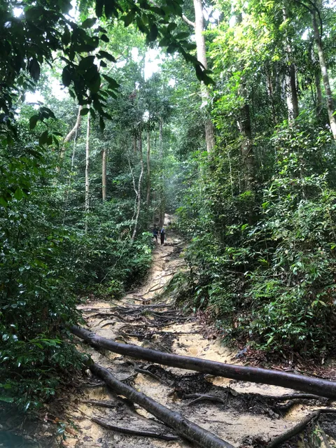
Outdoor
Adventure
Scenic
Off the beaten path
attractions: Hutan Lipur Gunung Angsi, restaurants: , local businesses:
Open hoursSee all hours
FriOpen 24 hoursOpen
Plan your stay

Pet-friendly Hotels in Negeri Sembilan
Find a cozy hotel nearby and make it a full experience.

Affordable Hotels in Negeri Sembilan
Find a cozy hotel nearby and make it a full experience.

The Coolest Hotels You Haven't Heard Of (Yet)
Find a cozy hotel nearby and make it a full experience.

Trending Stays Worth the Hype in Negeri Sembilan
Find a cozy hotel nearby and make it a full experience.
Reviews
Nearby attractions of Bukit Putus (Gunung Angsi Trailhead)
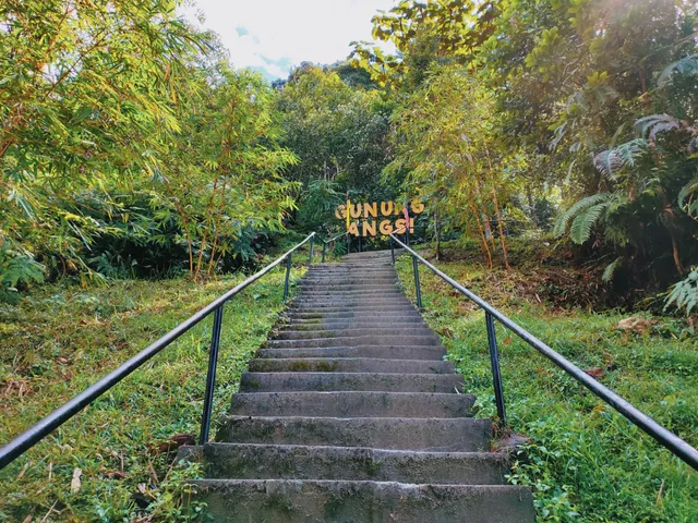
Hutan Lipur Gunung Angsi
Hutan Lipur Gunung Angsi
4.9
(51)
Closed
Click for details