Bukit Changkat Asa things to do, attractions, restaurants, events info and trip planning
Basic Info
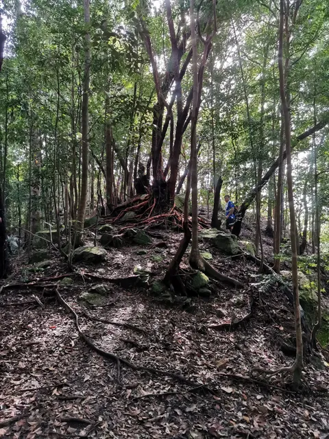
Bukit Changkat Asa
Hulu Bernam, 44000 Tanjong Malim, Selangor, Malaysia
4.5(74)
Open until 12:00 AM
Save
spot
spot
Ratings & Description
Info
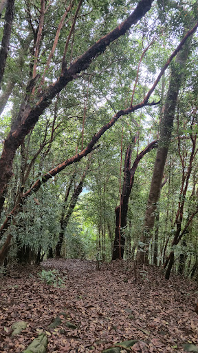
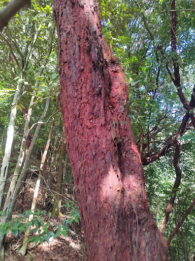
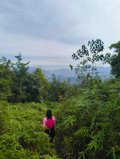
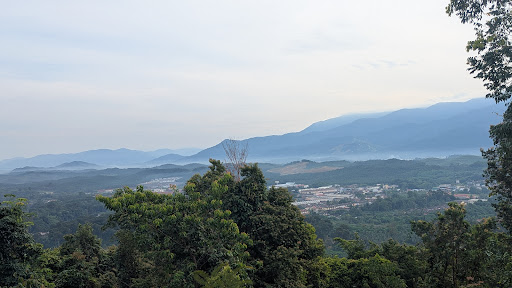
Outdoor
Adventure
Scenic
attractions: , restaurants: , local businesses:
Website
m.facebook.com
Open hoursSee all hours
SatOpen 24 hoursOpen
Plan your stay

Pet-friendly Hotels in Selangor
Find a cozy hotel nearby and make it a full experience.

Affordable Hotels in Selangor
Find a cozy hotel nearby and make it a full experience.

The Coolest Hotels You Haven't Heard Of (Yet)
Find a cozy hotel nearby and make it a full experience.

Trending Stays Worth the Hype in Selangor
Find a cozy hotel nearby and make it a full experience.