Richat Structure things to do, attractions, restaurants, events info and trip planning
Basic Info
Richat Structure
وادان, Mauritania
4.7(896)
Open 24 hours
Save
spot
spot
Ratings & Description
Info
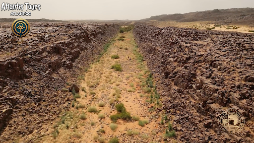
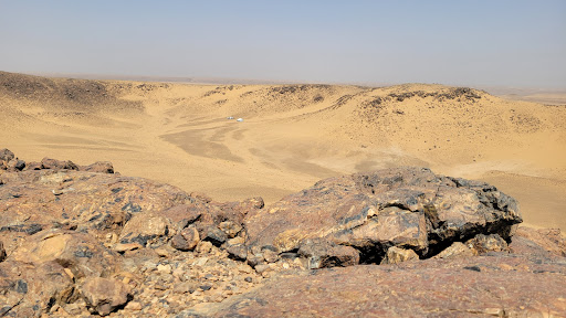
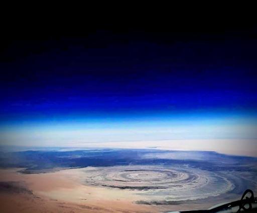
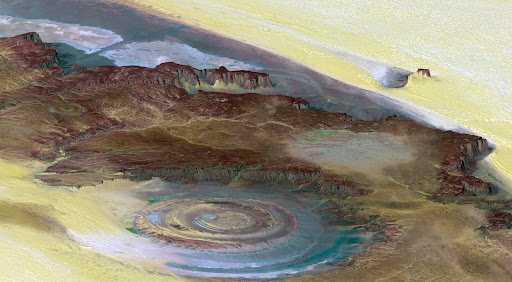
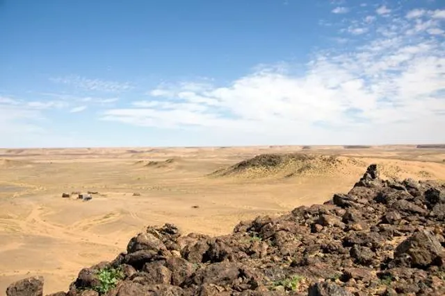
The Richat Structure, also called Guelb er Richât is a prominent circular geological feature in the Sahara's Adrar Plateau, near Ouadane, west–central Mauritania, Northwest Africa. In the local dialect, rīšāt means feathers and it also is known locally in Arabic as tagense.
Outdoor
Scenic
Adventure
Off the beaten path
attractions: , restaurants: , local businesses:
Website
earthobservatory.nasa.gov
Plan your stay

Pet-friendly Hotels in Maghreb
Find a cozy hotel nearby and make it a full experience.

Affordable Hotels in Maghreb
Find a cozy hotel nearby and make it a full experience.

The Coolest Hotels You Haven't Heard Of (Yet)
Find a cozy hotel nearby and make it a full experience.

Trending Stays Worth the Hype in Maghreb
Find a cozy hotel nearby and make it a full experience.