Lion Mountain things to do, attractions, restaurants, events info and trip planning

Basic Info
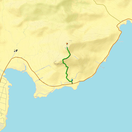
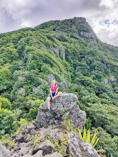
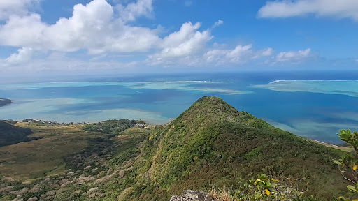
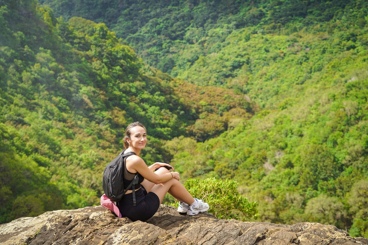
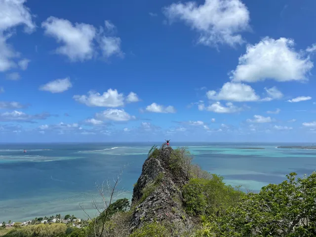
Lion Mountain
Mauritius
4.5(67)
Open 24 hours
Save
spot
spot
Ratings & Description
Info
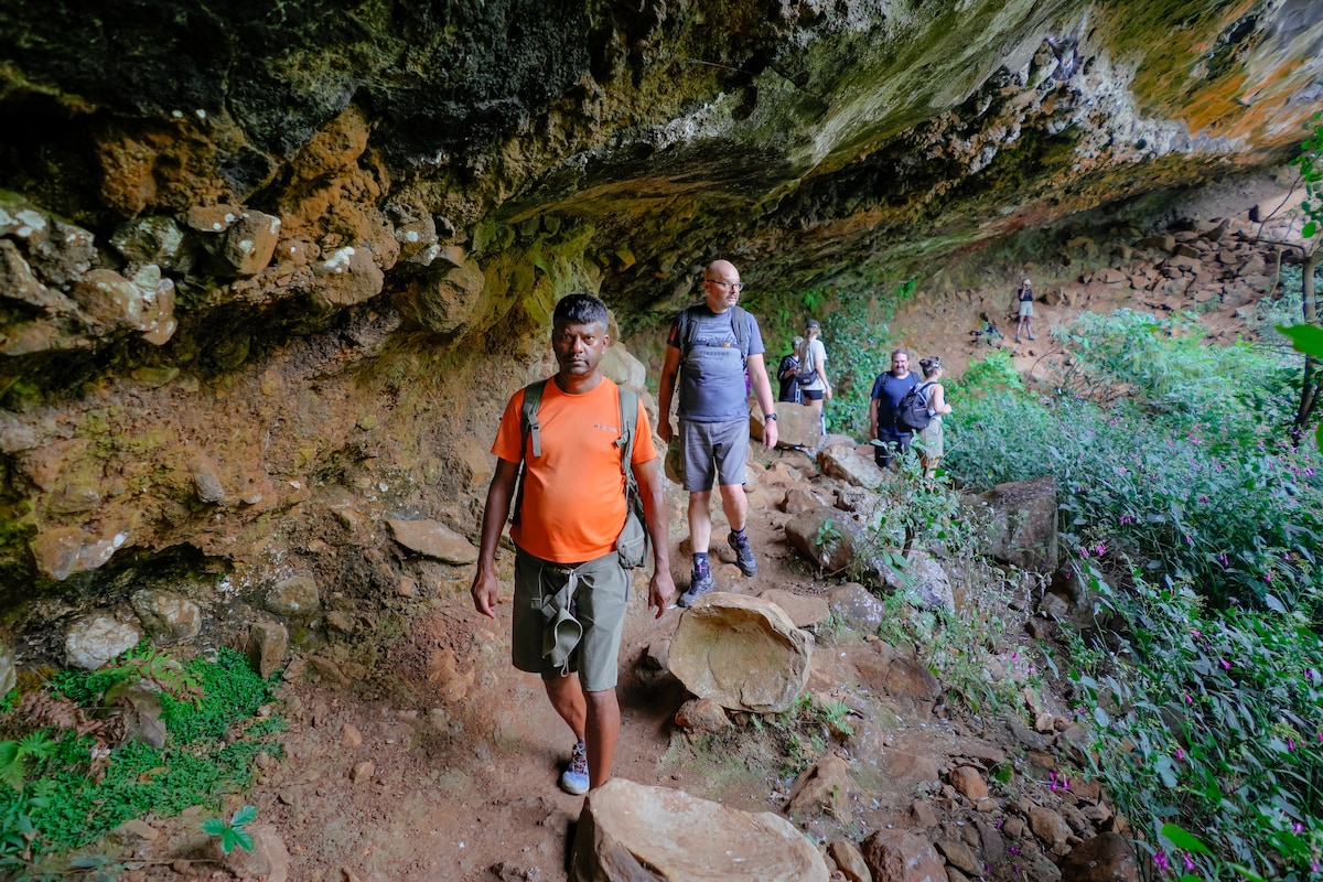
Outdoor
Adventure
Scenic
Off the beaten path
attractions: Lion Mountain, restaurants: , local businesses:
Website
fitsy.com
Plan your stay

Pet-friendly Hotels in Bois des Amourettes
Find a cozy hotel nearby and make it a full experience.

Affordable Hotels in Bois des Amourettes
Find a cozy hotel nearby and make it a full experience.

The Coolest Hotels You Haven't Heard Of (Yet)
Find a cozy hotel nearby and make it a full experience.

Trending Stays Worth the Hype in Bois des Amourettes
Find a cozy hotel nearby and make it a full experience.
Reviews
Live events
Navigate the stunning 7 Cascades
Tue, Jan 13 • 8:45 AM
Vacoas-Phoenix, Mauritius
View details
Join the Tamarind Falls adventure
Tue, Jan 13 • 1:30 PM
Vacoas-Phoenix, 80303, Mauritius
View details

Explore rugged South Coast
Tue, Jan 13 • 2:00 PM
Souillac, 73108, Mauritius
View details
Nearby attractions of Lion Mountain
Lion Mountain
Lion Mountain
4.6
(45)
Open 24 hours
Click for details