Bel Ombre Hiking Trail things to do, attractions, restaurants, events info and trip planning
Basic Info
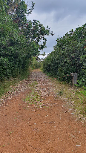
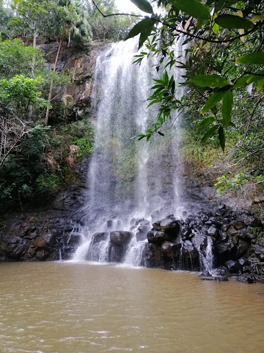
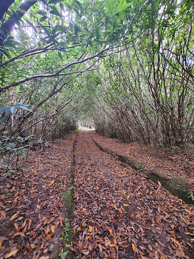
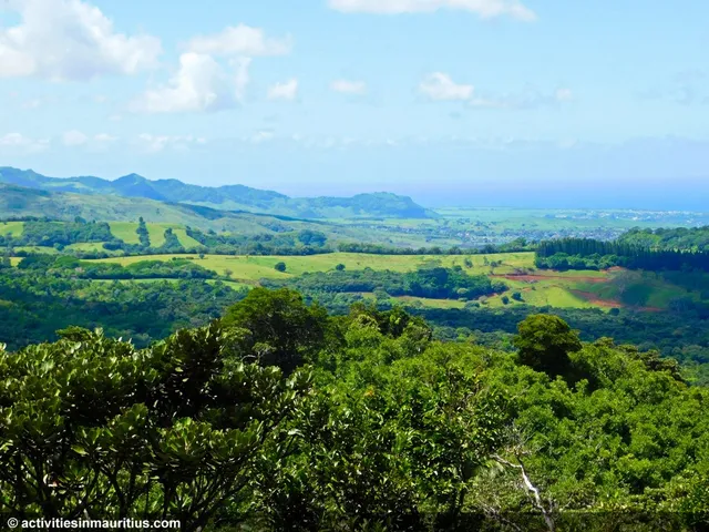
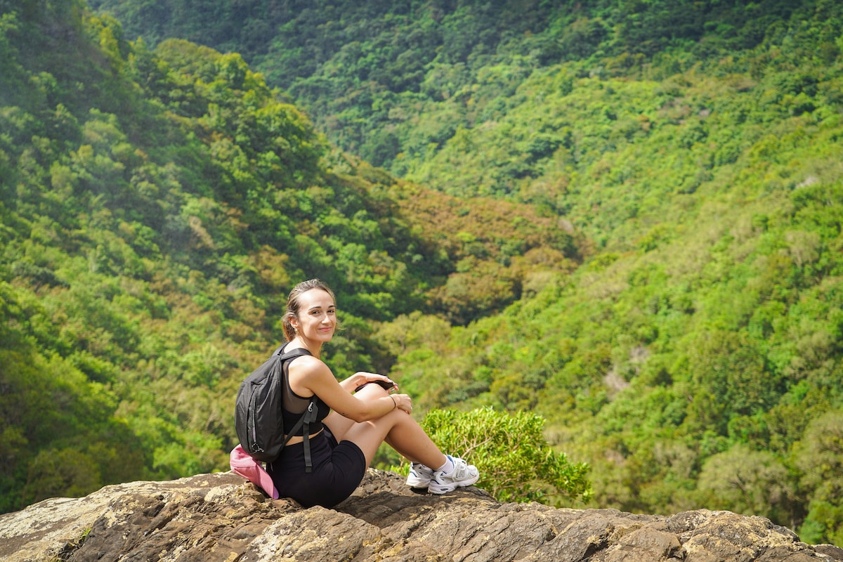
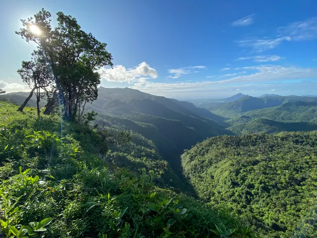
Bel Ombre Hiking Trail
B103 - Plaine Champagne Road, Mauritius
4.4(16)
Open 24 hours
Save
spot
spot
Ratings & Description
Info
Outdoor
Adventure
Scenic
Family friendly
Off the beaten path
attractions: Gollum Trail, restaurants: , local businesses:
Plan your stay

Pet-friendly Hotels in Chamarel
Find a cozy hotel nearby and make it a full experience.

Affordable Hotels in Chamarel
Find a cozy hotel nearby and make it a full experience.

The Coolest Hotels You Haven't Heard Of (Yet)
Find a cozy hotel nearby and make it a full experience.

Trending Stays Worth the Hype in Chamarel
Find a cozy hotel nearby and make it a full experience.
Reviews
Live events

Hike and Climb Le Morne Mountain at Sunrise
Mon, Feb 9 • 4:30 AM
Le Morne, 73108, Mauritius
View details
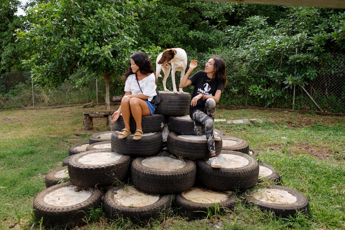
Visit Happy Tails Dog Sanctuary
Wed, Feb 11 • 12:00 PM
Baie du Cap, 60102, Mauritius
View details
Join the Tamarind Falls adventure
Mon, Feb 9 • 7:30 AM
Vacoas-Phoenix, 80303, Mauritius
View details
Nearby attractions of Bel Ombre Hiking Trail
Gollum Trail
Gollum Trail
2.5
(11)
Open 24 hours
Click for details