Titov Vrv things to do, attractions, restaurants, events info and trip planning
Basic Info
Titov Vrv
North Macedonia
5.0(62)
Save
spot
spot
Ratings & Description
Info
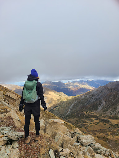
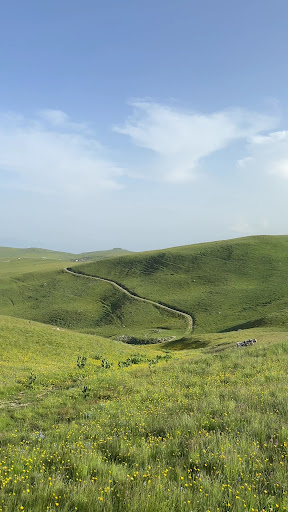
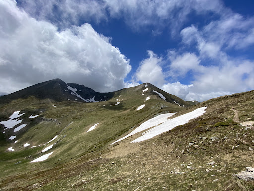
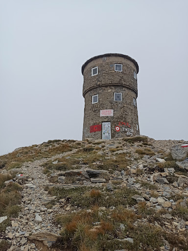
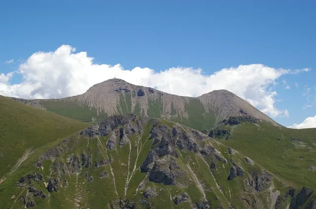
Titov Vrv is the highest peak of the Šar Mountains at 2,748 m. It is located about 13 mi northwest of the city of Tetovo in North Macedonia, near the border with Kosovo.
Outdoor
Adventure
Scenic
Off the beaten path
attractions: , restaurants: , local businesses:
Plan your stay

Pet-friendly Hotels in Municipality of Tetovo
Find a cozy hotel nearby and make it a full experience.

Affordable Hotels in Municipality of Tetovo
Find a cozy hotel nearby and make it a full experience.

The Coolest Hotels You Haven't Heard Of (Yet)
Find a cozy hotel nearby and make it a full experience.

Trending Stays Worth the Hype in Municipality of Tetovo
Find a cozy hotel nearby and make it a full experience.