Vidden Start things to do, attractions, restaurants, events info and trip planning

Basic Info
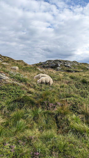
Vidden Start
5014 Bergen, Norway
4.9(56)
Open until 12:00 AM
Save
spot
spot
Ratings & Description
Info
Outdoor
Adventure
Scenic
Off the beaten path
Pet friendly
attractions: , restaurants: , local businesses: Rundemanen, Blåmanen
Open hoursSee all hours
FriOpen 24 hoursOpen
Plan your stay

Pet-friendly Hotels in Bergen
Find a cozy hotel nearby and make it a full experience.

Affordable Hotels in Bergen
Find a cozy hotel nearby and make it a full experience.

The Coolest Hotels You Haven't Heard Of (Yet)
Find a cozy hotel nearby and make it a full experience.

Trending Stays Worth the Hype in Bergen
Find a cozy hotel nearby and make it a full experience.
Reviews
Live events

Discover Bergen’s rich history and vibrant present
Fri, Feb 20 • 10:00 AM
5003, Bergen, Norway
View details

Bergen Murder Mystery: Solve the case!
Sun, Feb 1 • 12:00 AM
Torgallmenningen, Bergen, 5014
View details

Uncover Fløyen’s trails with a guide
Fri, Feb 20 • 9:30 AM
5014, Bergen, Norway
View details
Nearby local services of Vidden Start
Rundemanen
Blåmanen

Rundemanen
4.8
(29)
Click for details

Blåmanen
4.8
(9)
Click for details