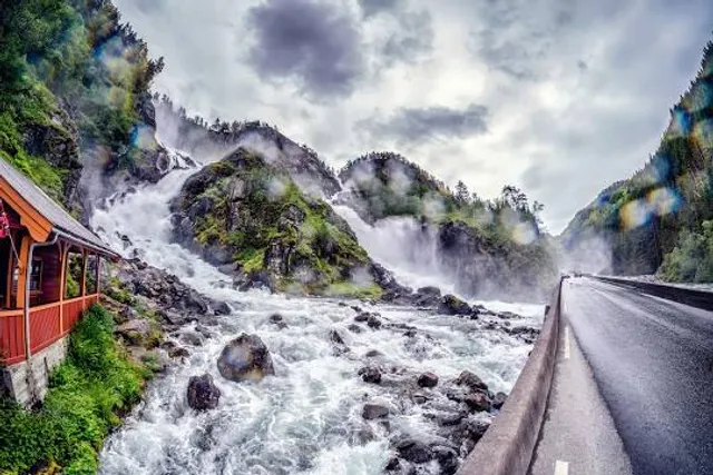
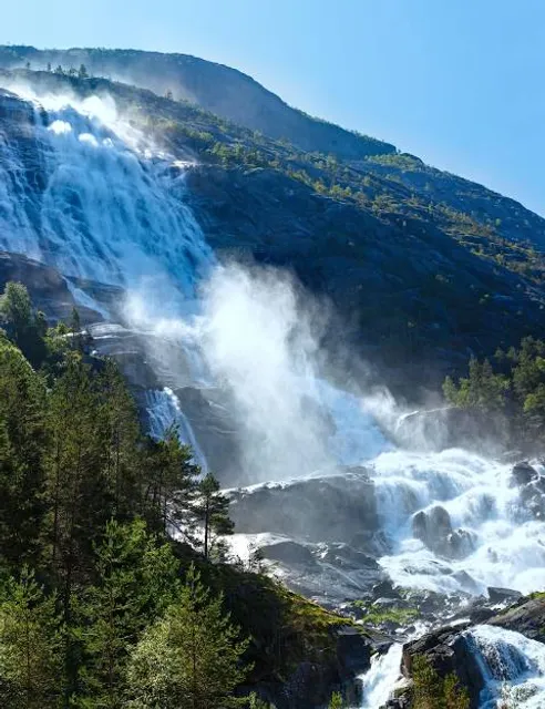
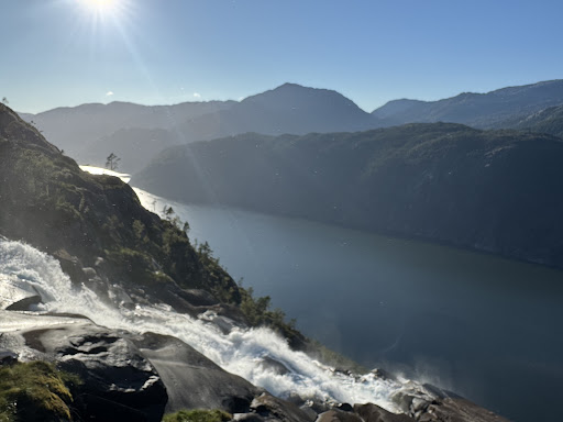
A popular hiking route that offers a challenging but rewarding trek to the top of the Langfoss waterfall. This hike provides stunning views of the waterfall, the surrounding fjord, and the mountainous landscape.
The hike begins at the Langfoss North Parking area, conveniently located near the E134 highway. Signage at the parking area typically guides hikers to the start of the trail. The hike is considered moderately challenging, with a steep ascent. Hikers should be prepared for a vigorous climb that requires a good level of fitness. The trail can be rocky and uneven, so proper hiking footwear is recommended.
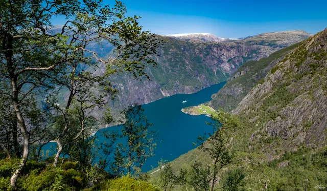
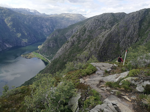
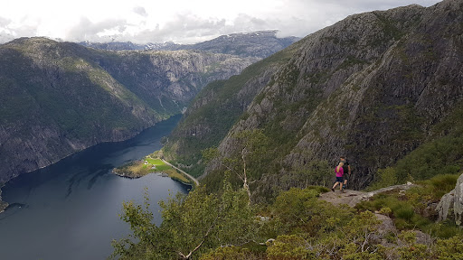
The round trip is approximately 5 kilometers (3.1 miles) long, with an elevation gain of around 640 meters (2,100 feet). The hike usually takes about 3-4 hours to complete, depending on pace and weather conditions. As you ascend, the trail offers breathtaking views of the Langfoss waterfall and the Åkrafjorden below. The higher you climb, the more expansive the views become, encompassing the surrounding mountains and fjords.
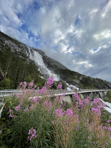
The destination of the hike is Vardahaugen, a peak that offers panoramic views of the region. From the summit, you can see the full drop of Langfoss, the fjord, and the lush green valleys. It's a perfect spot for taking photos and enjoying a well-deserved rest. The hike allows you to experience the natural beauty of the Hardanger region up close. The trail passes through dense forest, rocky outcrops, and open meadows, providing a diverse and immersive outdoor experience.
To avoid the midday heat and to ensure you have plenty of time to enjoy the hike and the views, it's advisable to start early in the day. Pack enough water, snacks, and a packed lunch. Also, carry a map, a compass or GPS device, and a first aid kit. The weather can change rapidly in the mountains, so check the forecast before you start and be prepared for all conditions. Stay on the marked trail, and be cautious on steep or slippery sections. If you’re hiking alone, let someone know your plans.
Langfoss Topptur to Vardahaugen is a must-do for hiking enthusiasts visiting the Etne region, offering a challenging trek with some of the best views Norway...
Read more