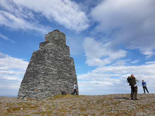
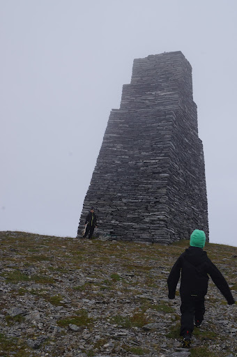
This place is majestic and has a dark energy to it as it stands there like a silent giant impossible to interact with.
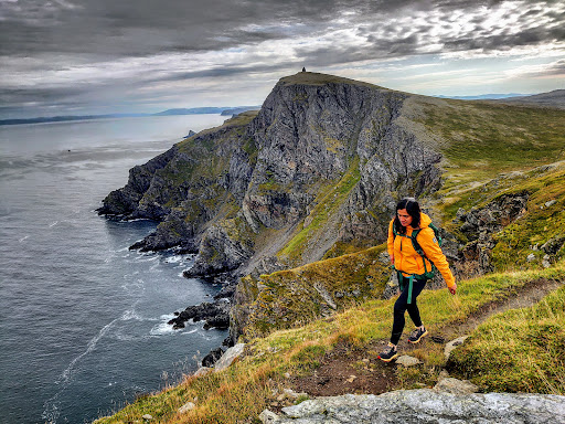
The hike here is a hikers dream!
It is a non-technical hike.
The trail is a super nice path through the soft peatland. There are several wet bogs/marshes to walk across and you can avoid getting wet. You will cross several barren rock gardens with thin rocks covering the ground. There are almost no spots where you have to climb up big steps.
My fantastic Chihuahua was able to walk the entire way.
It can be very windy, come prepared for changing weather.
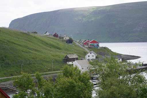
If you start the hike at the ferry stop you will walk on a road (mostly gravel) until approximately the 3.8 km mark. From there you will follow a trail that is pretty well marked with a red T (for tursti).
It is not always possible to see the trail. I recommend downloading the app Norgeskart and download the area so you can see the trail even when there is limited or no cell service. Once you cannot see the cell tower behind you anymore (by the gravel road) it is a good idea to put your phone in flight mode so you don’t run out of battery.
The entire hike from the ferry harbor is approximately 9.3 km.
The only sign you will see saying “Kjøttvikvarden” is along the gravel road and not at the most essential trail crossing. Take a right on a smaller gravel road at the sign “Petterveien” and “Mefjord 2 km” and then when the second gravel road makes a sharp right turn you go out in nature on the trail. There is no sign here indicating this is the trail to Kjøttvikvarden....
Read more