Mørkgonga things to do, attractions, restaurants, events info and trip planning
Basic Info
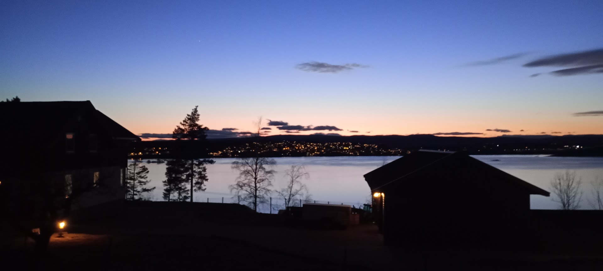
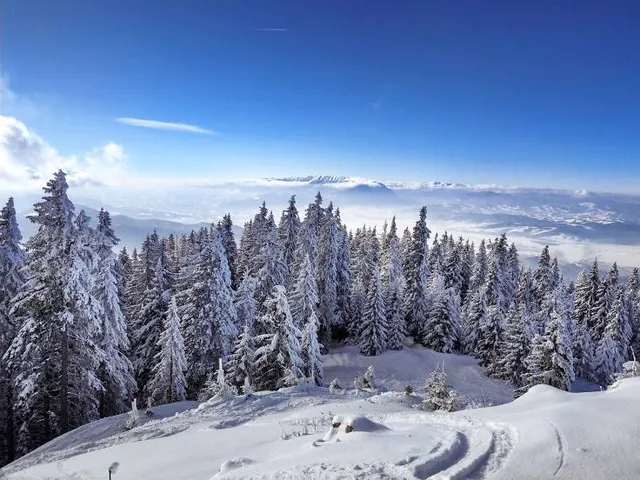
Mørkgonga
3512 Hønefoss, Norway
4.9(161)
Open until 12:00 AM
Save
spot
spot
Ratings & Description
Info
Outdoor
Adventure
Scenic
Off the beaten path
attractions: , restaurants: , local businesses: Gyrihaugen
Website
ut.no
Open hoursSee all hours
SatOpen 24 hoursOpen
Plan your stay

Pet-friendly Hotels in Ringerike
Find a cozy hotel nearby and make it a full experience.

Affordable Hotels in Ringerike
Find a cozy hotel nearby and make it a full experience.

The Coolest Hotels You Haven't Heard Of (Yet)
Find a cozy hotel nearby and make it a full experience.

Trending Stays Worth the Hype in Ringerike
Find a cozy hotel nearby and make it a full experience.
Reviews
Live events
Candlelight: Vivaldis Four Seasons
Sat, Feb 21 • 6:00 PM
Holtegata 15, Oslo, 0259
View details

The Jazz Room: A Journey to the Heart of New Orleans
Sun, Feb 22 • 4:00 PM
Soria Moria, Vogts gate 64, Oslo, 0477
View details
Norwegian Food Tour & Hidden Gems of Oslo CityWalk
Sun, Feb 22 • 12:00 PM
0154, Oslo, Norway
View details
Nearby local services of Mørkgonga
Gyrihaugen

Gyrihaugen
4.9
(25)
Click for details