Pulpit Rock things to do, attractions, restaurants, events info and trip planning

Basic Info
Pulpit Rock
4129 Songesand, Norway
4.8(1.8K)
Save
spot
spot
Ratings & Description
Info
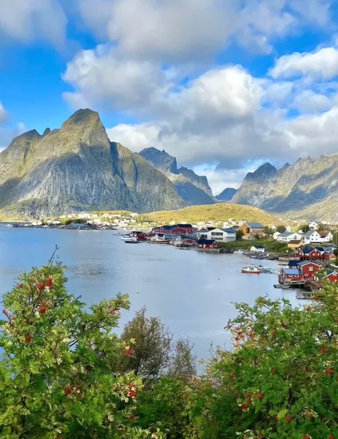
Preikestolen or Prekestolen is a tourist attraction in the municipality of Strand in Rogaland county, Norway. Preikestolen is a steep cliff which rises 604 metres above Lysefjorden. Atop the cliff, there is an almost flat top of approximately 25 by 25 metres.
Outdoor
Adventure
Family friendly
attractions: Preikestolen, restaurants: , local businesses: Preikestolen nødbu
Website
regionstavanger.com
Plan your stay

Pet-friendly Hotels in Strand
Find a cozy hotel nearby and make it a full experience.

Affordable Hotels in Strand
Find a cozy hotel nearby and make it a full experience.

The Coolest Hotels You Haven't Heard Of (Yet)
Find a cozy hotel nearby and make it a full experience.

Trending Stays Worth the Hype in Strand
Find a cozy hotel nearby and make it a full experience.
Reviews
Nearby attractions of Pulpit Rock
Preikestolen

Preikestolen
4.8
(3K)
Open until 12:00 AM
Click for details
Nearby local services of Pulpit Rock
Preikestolen nødbu

Preikestolen nødbu
4.7
(50)
Click for details