Fløya trail head things to do, attractions, restaurants, events info and trip planning

Basic Info
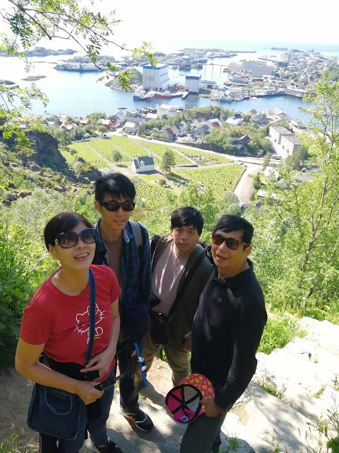
Fløya trail head
Blåtindveien 2-18, 8300 Svolvær, Norway
4.7(247)
Open until 12:00 AM
Save
spot
spot
Ratings & Description
Info
Outdoor
Adventure
Scenic
Off the beaten path
attractions: , restaurants: , local businesses: Svolværgeita
Website
rando-lofoten.net
Open hoursSee all hours
FriOpen 24 hoursOpen
Plan your stay

Pet-friendly Hotels in Vågan
Find a cozy hotel nearby and make it a full experience.

Affordable Hotels in Vågan
Find a cozy hotel nearby and make it a full experience.

The Coolest Hotels You Haven't Heard Of (Yet)
Find a cozy hotel nearby and make it a full experience.

Trending Stays Worth the Hype in Vågan
Find a cozy hotel nearby and make it a full experience.
Reviews
Live events
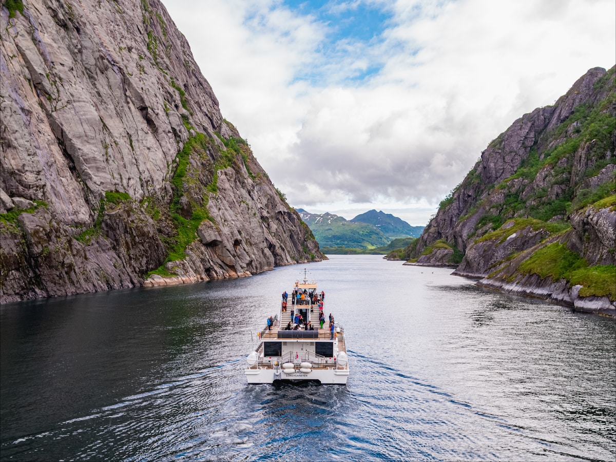
Silent Trollfjord cruise by hybrid catamaran
Sat, Feb 28 • 9:00 AM
8300, Vågan, Norway
View details
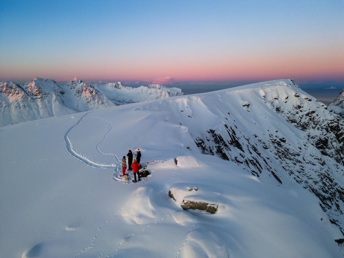
Snowshoeing adventure - uphill version
Tue, Mar 3 • 10:00 AM
8313, Vågan, Norway
View details
Nearby local services of Fløya trail head
Svolværgeita
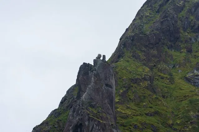
Svolværgeita
4.6
(38)
Click for details