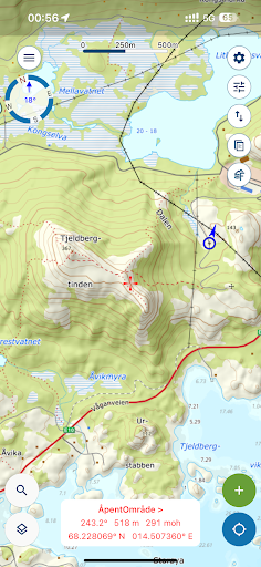
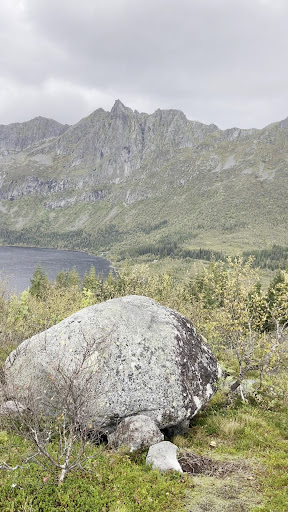
2024-06-14. Beautiful views for midnight sun, but trail is not very safe by North American standards. Steep, no railings or supports, and little signage except at forks and with occasional cairns. Trekking poles were critical for me, especially on the descent. Google Maps is insufficient for this hike (and I assume many in the area), so do download one of the Norwegian map apps in the App Store and use that. Norgeskart Outdoors was the most useful for me.
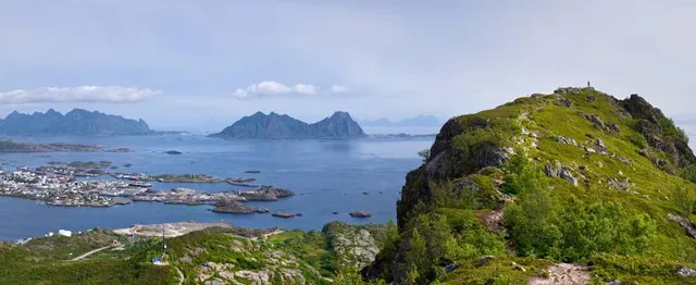
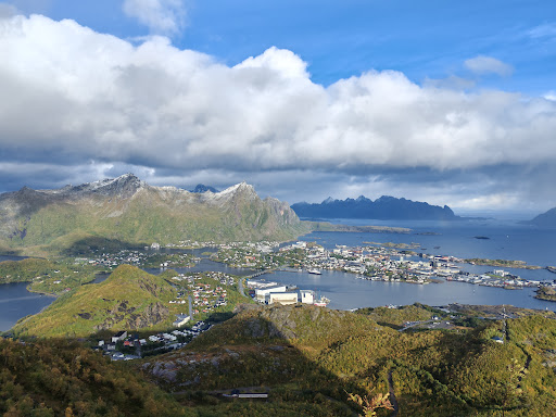
Effectively there are two trails to the main saddle, then a scramble to the top of what we’d call the “haystack” in the US. The Dalen trail is the primary trail, and there is another trail branching off the Linken trail about 70% to the Linken summit. The majority of the elevation gain is to reach the saddle. On the eastern side of the saddle (closer to Svolvær and the sea) is a prominence, which seemed nice and did not require a scramble. The haystack is the summit and is at the western side of the saddle. Consult the topo map and my screenshot.
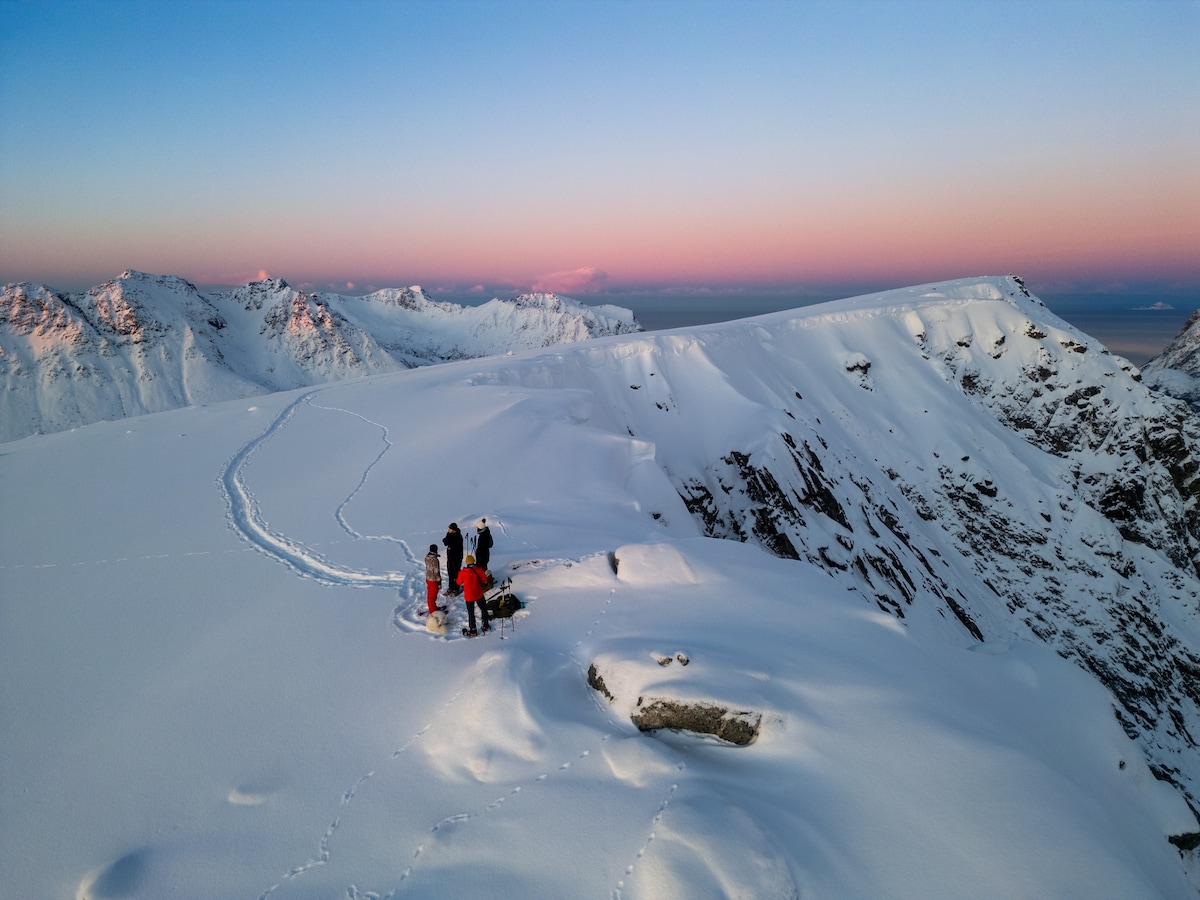
There are two approaches to the haystack: one is an unprotected scramble along the north edge (doable but very exposed), and the other has an ~8m chain. I went up the north scramble and down the chain. I’d recommend the chain for both, in retrospect.
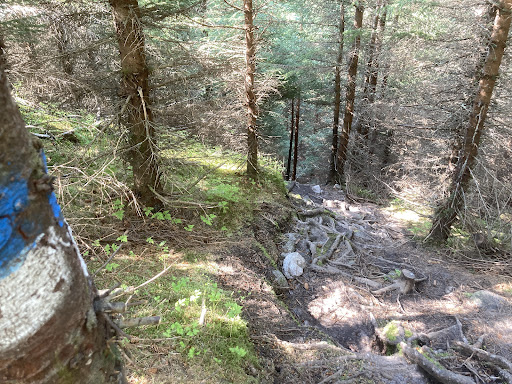
I took the main Dalen route up and returned via the cutoff to Linken. Dalen is more consistent of a climb: it starts climbing and maintains the same grade. There are duckboards in the areas of heaviest mud, but even after 5 days without rain, it was damp on the north approaches. Dalen intersects with Linken at around 10% into the Linken trail, and I actually liked that. I think the more you stay on the gravel road for Linken, the safer the trail is.
I would recommend the Linken trail to the intersection to Tjeldbergtind at 70%, but it is incredibly steep. The steepest section gains 100m elevation in 150m distance. It is deceptive after the fork, because the first 250m only gains about 40m in elevation, then sharply increases. This felt downright treacherous on the descent, and it was in ideal conditions.
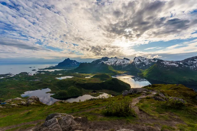
The view is lovely, and I’m very happy to have experienced it at midnight during the midnight summer season. I think it is worthwhile, but I think it is critical to understand how the trail conditions are unsafe for the inexperienced. The nearby Djevelporten is a steeper elevation gain, but Tjeldbergtind demonstrates why the 505 Sherpa stairs were necessary. I hope that they make the same investment for sections of...
Read more