Bitihorn things to do, attractions, restaurants, events info and trip planning
Basic Info
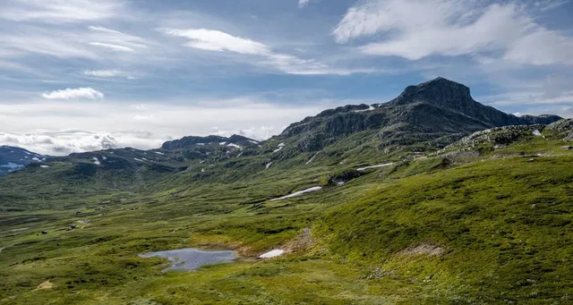
Bitihorn
2975 Vang i Valdres, Norway
4.7(85)
Save
spot
spot
Ratings & Description
Info
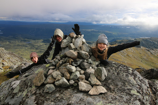
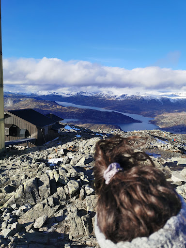
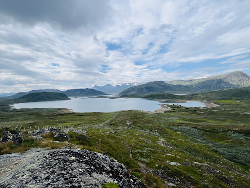
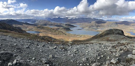
Bitihorn is a mountain on the border of Vang Municipality and Øystre Slidre Municipality in Innlandet county, Norway. The 1,608-metre tall mountain is located in the Jotunheimen mountains about 7 kilometres northwest of the village of Beitostølen.
Outdoor
Adventure
Scenic
attractions: , restaurants: , local businesses:
Plan your stay

Pet-friendly Hotels in Vang
Find a cozy hotel nearby and make it a full experience.

Affordable Hotels in Vang
Find a cozy hotel nearby and make it a full experience.

The Coolest Hotels You Haven't Heard Of (Yet)
Find a cozy hotel nearby and make it a full experience.

Trending Stays Worth the Hype in Vang
Find a cozy hotel nearby and make it a full experience.