Mount Tambora things to do, attractions, restaurants, events info and trip planning
Basic Info
Mount Tambora
Kawinda Toi, Tambora, Bima Regency, West Nusa Tenggara, Indonesia
4.5(418)
Save
spot
spot
Ratings & Description
Info
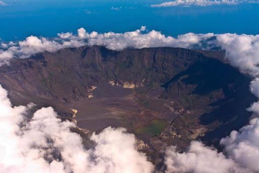
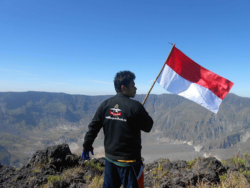
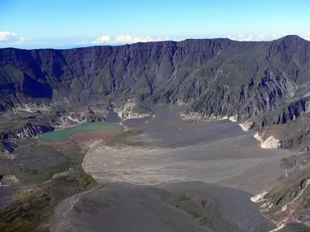
Mount Tambora, or Tomboro, is an active stratovolcano in West Nusa Tenggara, Indonesia. Located on Sumbawa in the Lesser Sunda Islands, it was formed by the active subduction zones beneath it.
Outdoor
Adventure
Scenic
Off the beaten path
attractions: , restaurants: , local businesses:
Plan your stay

Pet-friendly Hotels in Sumbawa
Find a cozy hotel nearby and make it a full experience.

Affordable Hotels in Sumbawa
Find a cozy hotel nearby and make it a full experience.

The Coolest Hotels You Haven't Heard Of (Yet)
Find a cozy hotel nearby and make it a full experience.

Trending Stays Worth the Hype in Sumbawa
Find a cozy hotel nearby and make it a full experience.