Mushkpuri things to do, attractions, restaurants, events info and trip planning

Basic Info
Mushkpuri
Pakistan
4.7(569)
Open 24 hours
Save
spot
spot
Ratings & Description
Info
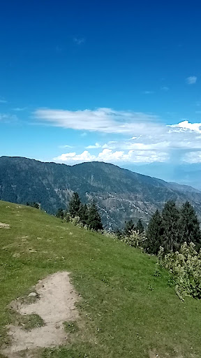
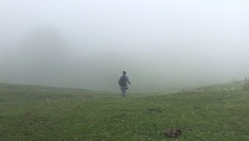
Mukshpuri, Mushkpuri, or Mukeshpuri is a 2,800-metre-high mountain in the Nathia Gali Hills, in the Circle Bakote Region of Abbottabad District of the Khyber Pakhtunkhwa province in northern Pakistan. It is 90 kilometres north of Islamabad, just above Dunga Gali in the Nathia Gali area of Ayubia National Park.
Outdoor
Adventure
Scenic
Family friendly
Off the beaten path
attractions: , restaurants: , local businesses:
Plan your stay

Pet-friendly Hotels in Abbottabad Tehsil
Find a cozy hotel nearby and make it a full experience.

Affordable Hotels in Abbottabad Tehsil
Find a cozy hotel nearby and make it a full experience.

The Coolest Hotels You Haven't Heard Of (Yet)
Find a cozy hotel nearby and make it a full experience.

Trending Stays Worth the Hype in Abbottabad Tehsil
Find a cozy hotel nearby and make it a full experience.