Catarata poc poc things to do, attractions, restaurants, events info and trip planning
Basic Info
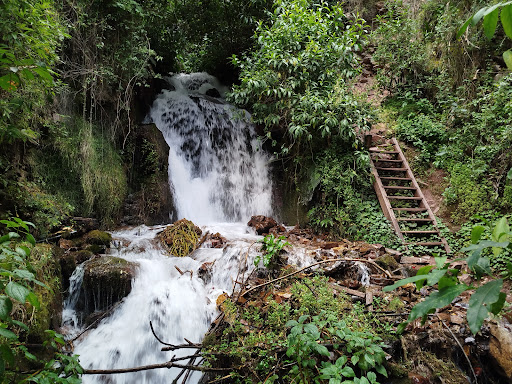
Catarata poc poc
Ruta Chinchero, Chinchero, Urquillos 08000, Peru
4.7(103)
Open 24 hours
Save
spot
spot
Ratings & Description
Info
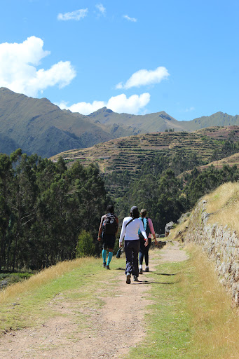
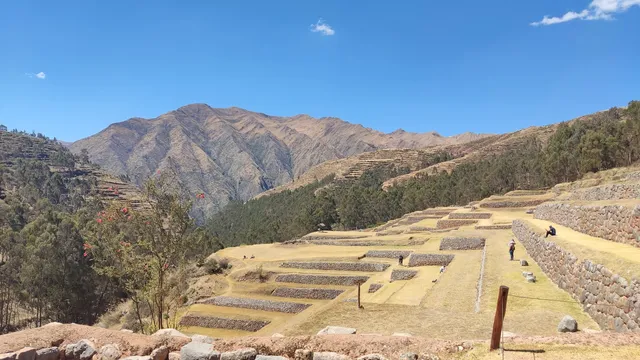
Outdoor
Adventure
Scenic
attractions: , restaurants: , local businesses:
Website
facebook.com
Plan your stay

Pet-friendly Hotels in Chinchero
Find a cozy hotel nearby and make it a full experience.

Affordable Hotels in Chinchero
Find a cozy hotel nearby and make it a full experience.

The Coolest Hotels You Haven't Heard Of (Yet)
Find a cozy hotel nearby and make it a full experience.

Trending Stays Worth the Hype in Chinchero
Find a cozy hotel nearby and make it a full experience.
Reviews
Live events

Horseback riding through four hidden temples
Sun, Mar 1 • 8:30 AM
Cusco, 08003, Cusco, Peru
View details
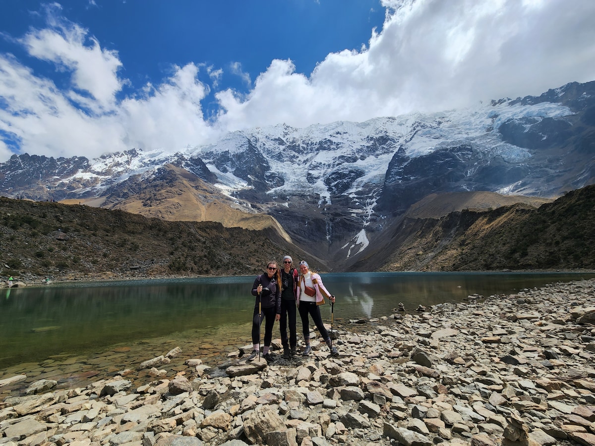
Hike to Humantay Lagoon in one day
Fri, Feb 27 • 4:30 AM
Cusco, 08002, Cuzco, Peru
View details
Explore the Sacred valley of the Incas
Fri, Feb 27 • 6:30 AM
Cusco, 08002, Cusco, Peru
View details