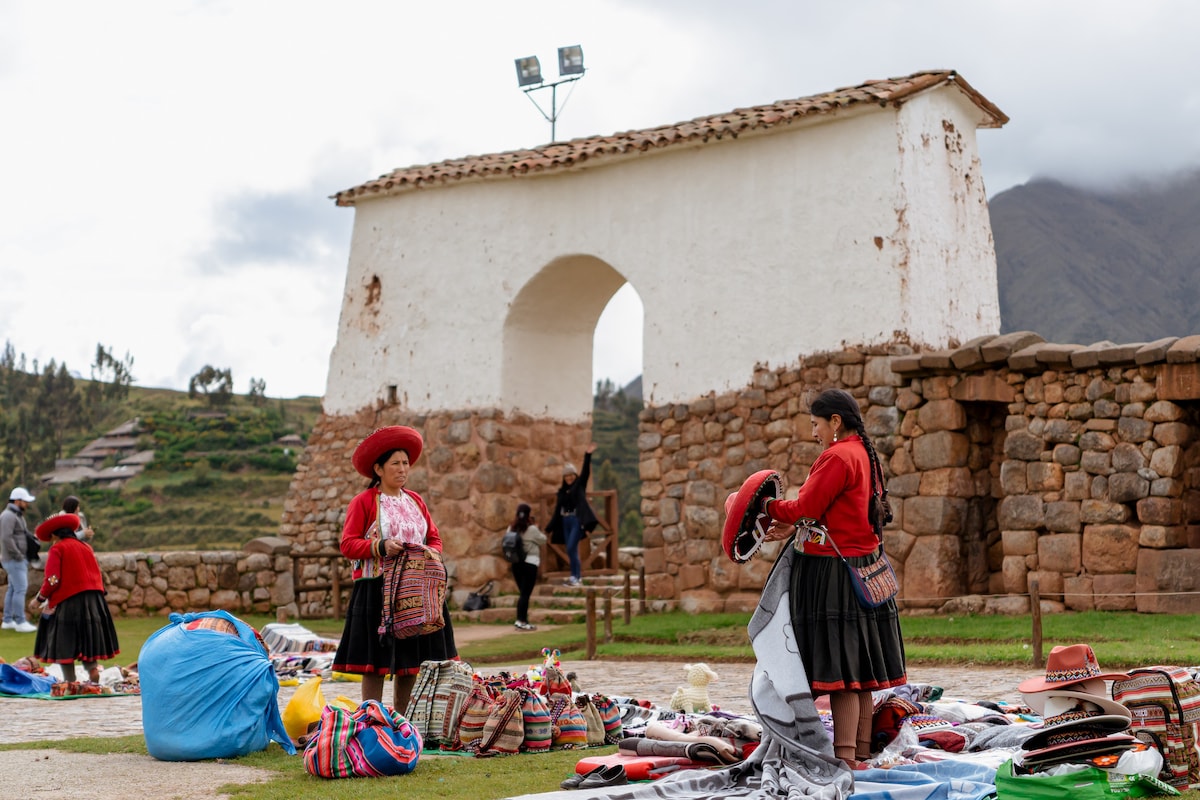
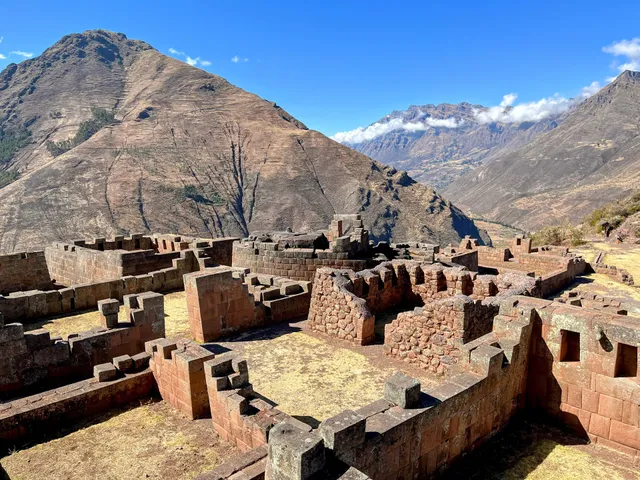
A great site to visit, on top of a mountain ridge, around 1 km long. 4 main areas of buildings, it's a significant site hardly visited in comparison to Matchu Pitchu so a better feeling when visiting, not 100's of Tourists everywhere. 70 soles to visit.
Inti Watana or Intiwatana - Intihuatana (Quechua) is an archaeological site based on a mountain / along a mountain ridge just above Pisac.
Locally it's named the Archaeological park of Písac, and its believed to have started between the 10th and 11th centuries however it is unknown when the complex that remains today was built, but the consensus is that the contributions by the Inca's were built by the Inca emperor Pachacuti (1438–1471/1472) no earlier than 1440.
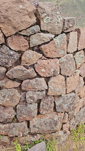
The site was certainly an observatory, religious site and Inca Citidel. Although it was a Citidel and was reinforced with massive ramparts, the Incas never retreated to here to defend against the Spaniards. Another interesting note is despite its size and proximity to Cusco the Inca complex is not mentioned by any of the Spanish chroniclers.
It lies in the Cusco Region, Calca Province, Pisac District
Písac , which derives from the southern Quechua word p'isaq , ' partridge of the puna '. As was customary in Inca architecture, cities were built on the basis of figurative lines of animals. Písac archaeological site takes the form of the puna partridge.
There are 5 main areas of buildings to visit over a 1km ridge.
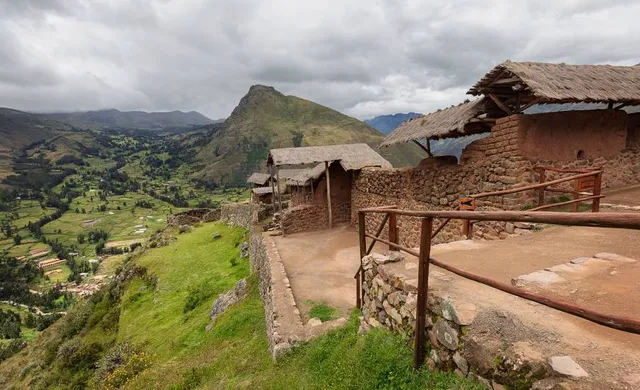
The first area is where the Taxis and buses drop people of at the far end (furthest way from the town of Pisac) of the Inca complex. Its called, Qantus Raqay. The second is Pisac Q'allaqasa (the citadel). The third area is where the Intihuatana is. This is considered a religious construction of the Inca Empire .
Intihuatana is a Quechua term meaning "where the sun ( inti ) is tied (or tied)," and it is believed that it served as an astronomical calendar to define the seasons according to the shadow that the sun gave to the base of that stone.
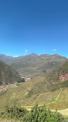
Then slightly lower down adjacent to a lot of terracing are a number of Inca houses.
Then finally Hospitalniyoq which is a collection of houses and watch towers.
The modern town of Písac was built in the valley below the ruins of the Inca complex by Viceroy Toledo during the 1570s.
More detail on the site.
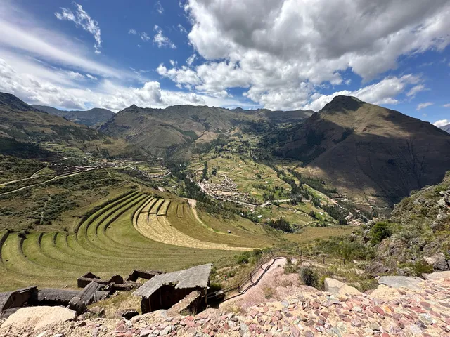
Located at the entrance to the Sacred Valley the Incan complex stretches at varying elevations between 3,446 m and 3,514 metres above sea level for approximately one kilometre along a mountain ridge sandwiched between the Kitamayu River (to the west) and the Chongo River (to the east), which are tributaries of the Vilcanota.
The complex is divided into seven architectural areas (from north to south) - Qantus Raqay, Qallaq'asa, Inca Qonqorina, Intiwatana, P'isaqa, Hospitalniyoc and Kanchis Racay.9 These are separated by natural terrain but accessible by narrow paths wind tortuously along the ridge and in two places passing through two tunnels with running water supplied by canals. Almost all the original names of the different areas of the complex are lost; the names that are known today were established by tradition, historians and archaeologists.
The first part of the complex reached by visitors coming by motor vehicle is Qanchus Racay in the north-eastern corner of the complex. South of Qanchus Racay is the first of the numerous terraces (andenes) while on a plateau to the west beside the Kitamayu River is a bath complex containing four...
Read more