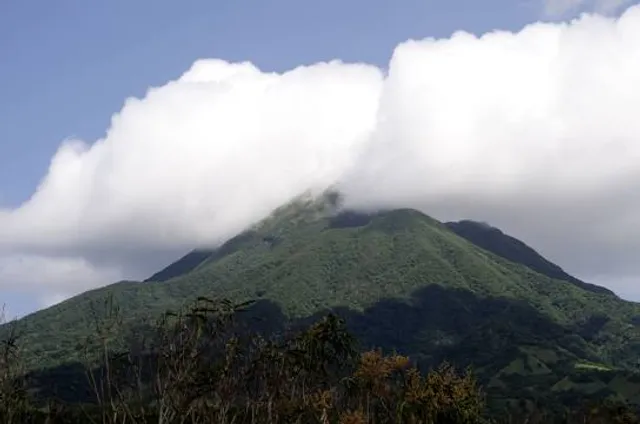
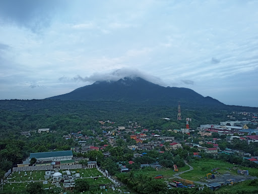
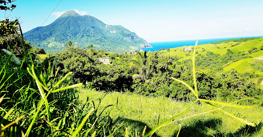
26 Sep 2024, 0530 to 1400. My hiking guide Richard was recommended by my tour guide Nelson--yes, they have distinct guides for certain activities--who also drove me to the jump-off point that was at the northern end of the airport. This is the northernmost mountain that tourists are allowed to hike, and has an official elevation is 1,009 MASL with a trail of about 4.16 km from foot to the crater of this dormant volcano. Around this time of the year, close to half of the mountain is covered with clouds so a view from the summit should not be expected. The good: (1) plenty of tree cover shields from the sun; (2) if there is no cloud cover, you'll see a clear 360 view from a small part of Taiwan to the north to the Babuyan Islands to the south; (3) a huge variety of flora--some of which are sold for more than 1k PHP in metro manila--growing in the wild and a few wild berries; (4) plenty of fauna as well, from fruit bats, to the vadu and marida snails--both delicacies--to the badug bird, and the odd white or yellow pit viper whose neurotoxic venom can be quite painful, if not fatal; (5) being a dormant volcano, you can also check out the crater...The bad: (1) slippery trail all the way because of the year-round wetness; (2) vines and roots serve both as handholds and tripwires; (3) plenty of itchy-stalked and thorny plants; (4) rotten logs and stumps that might cause injury if mistakenly used for support; (5) most of the trail is single-file only, especially at the assault where the gradient can reach 60 degrees...If you are intent on hiking Mt. Iraya, I recommend wearing leggings and gloves, good footwear that you are comfortable wearing, limit the weight you carry to the bare essentials (water, trail snacks, and maybe one fully-charged camera phone). If you use and lose control of a drone, don't expect your hiking guide to help retrieve it. I don't think drones are allowed anyway, but feel free to try. I've done the rainy season hike, so of course, I'll come back to savor the view from the top when the...
Read more