Mount Batulao Peak things to do, attractions, restaurants, events info and trip planning
Basic Info
Mount Batulao Peak
Balayan, Batangas, Philippines
4.7(62)
Open 24 hours
Save
spot
spot
Ratings & Description
Info
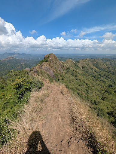
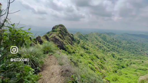
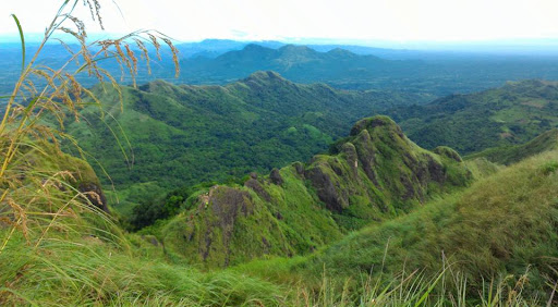
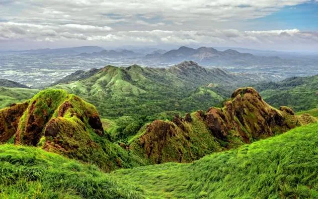
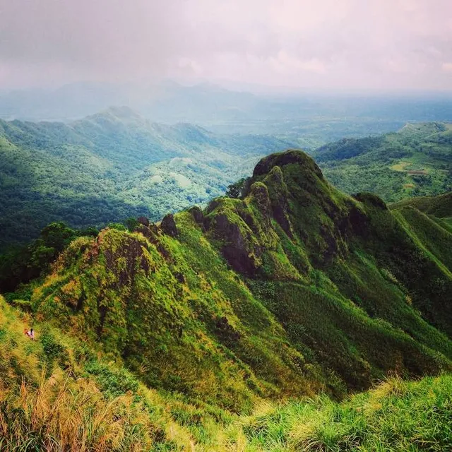
Mount Batulao is an inactive stratovolcano in the Calabarzon region of the Philippines, located in northwest Batangas province along its border with Cavite.
Outdoor
Adventure
Scenic
Off the beaten path
attractions: Mount Batulao, restaurants:
Plan your stay

Pet-friendly Hotels in Calaca
Find a cozy hotel nearby and make it a full experience.

Affordable Hotels in Calaca
Find a cozy hotel nearby and make it a full experience.

The Coolest Hotels You Haven't Heard Of (Yet)
Find a cozy hotel nearby and make it a full experience.

Trending Stays Worth the Hype in Calaca
Find a cozy hotel nearby and make it a full experience.
Reviews
Nearby attractions of Mount Batulao Peak
Mount Batulao
Mount Batulao
4.6
(238)
Open 24 hours
Click for details