Mount Makiling things to do, attractions, restaurants, events info and trip planning
Basic Info
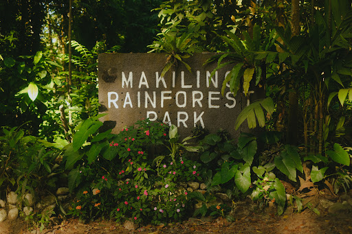
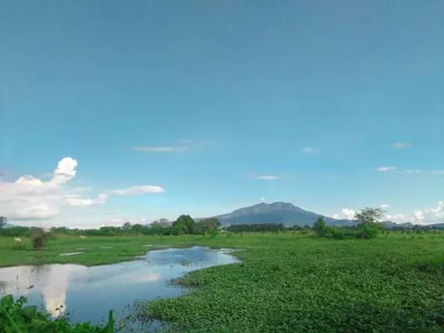
Mount Makiling
Los Baños, Laguna, Philippines
4.4(113)
Save
spot
spot
Ratings & Description
Info
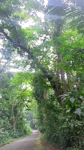
Mount Makiling is an inactive stratovolcano located in the provinces of Laguna and Batangas on the island of Luzon in the Philippines. The mountain rises to an elevation of 1,090 meters above mean sea level and is the highest feature of the Laguna Volcanic Field.
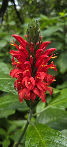
Outdoor
Adventure
Scenic
Off the beaten path
attractions: , restaurants: , local businesses:
Plan your stay

Pet-friendly Hotels in Los Baños
Find a cozy hotel nearby and make it a full experience.

Affordable Hotels in Los Baños
Find a cozy hotel nearby and make it a full experience.

The Coolest Hotels You Haven't Heard Of (Yet)
Find a cozy hotel nearby and make it a full experience.

Trending Stays Worth the Hype in Los Baños
Find a cozy hotel nearby and make it a full experience.
Reviews
Live events

Certified Digital Negosyo: Laguna
Tue, Feb 24 • 12:00 AM
Calamba, Calabarzon
View details