Stołowe Mountains National Park things to do, attractions, restaurants, events info and trip planning
Basic Info
Stołowe Mountains National Park
Poland
4.9(4.1K)
Closed
Save
spot
spot
Ratings & Description
Info
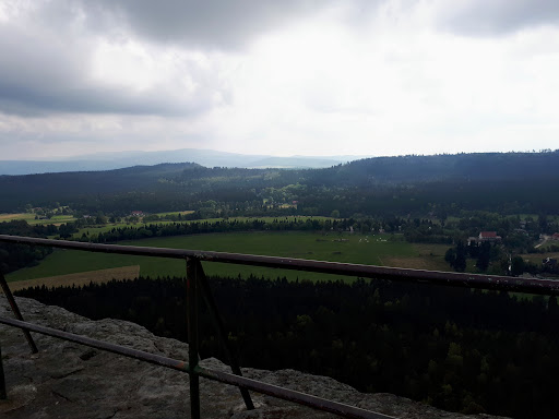
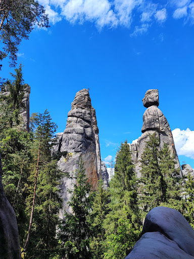
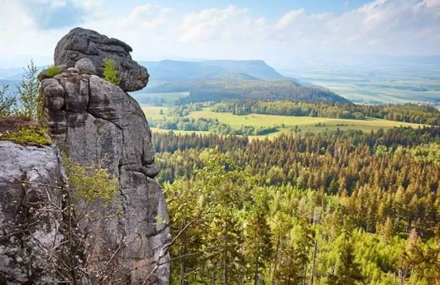
The Stołowe Mountains National Park, anglicized to Table Mountains National Park, is a national park in southwestern Poland. It comprises the Polish section of the Table Mountains, which are part of the Sudetes range.
Outdoor
Adventure
Family friendly
attractions: , restaurants: , local businesses:
Phone
+48 74 866 14 36
Website
pngs.gov.pl
Open hoursSee all hours
Fri7 AM - 6 PMClosed
Plan your stay

Pet-friendly Hotels in gmina Radków
Find a cozy hotel nearby and make it a full experience.

Affordable Hotels in gmina Radków
Find a cozy hotel nearby and make it a full experience.

The Coolest Hotels You Haven't Heard Of (Yet)
Find a cozy hotel nearby and make it a full experience.

Trending Stays Worth the Hype in gmina Radków
Find a cozy hotel nearby and make it a full experience.