Morasko Meteorite Nature Reserve things to do, attractions, restaurants, events info and trip planning
Basic Info
Morasko Meteorite Nature Reserve
Meteorytowa 1, Poznań, Poland
4.6(742)
Open until 12:00 AM
Save
spot
spot
Ratings & Description
Info
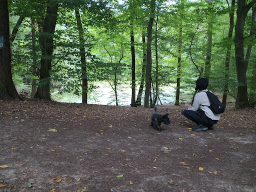
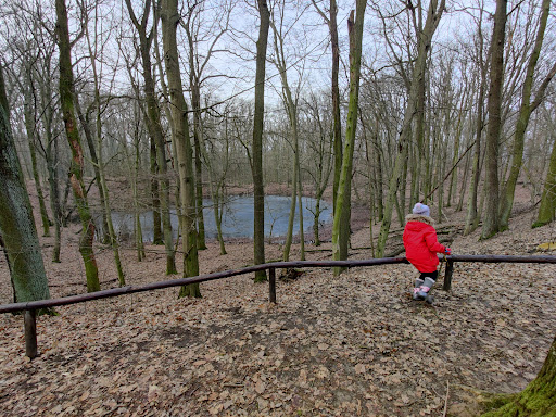
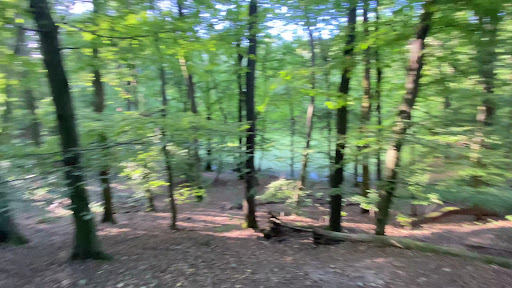
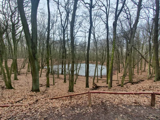
The Morasko meteorite nature reserve is located in Morasko, on the northern edge of the city of Poznań, Poland. It contains seven meteor craters. The reserve has an area of 55 hectares and was established in 1976.
Outdoor
Adventure
Scenic
Family friendly
Pet friendly
Off the beaten path
attractions: , restaurants: , local businesses:
Open hoursSee all hours
SunOpen 24 hoursOpen
Plan your stay

Pet-friendly Hotels in Poznan
Find a cozy hotel nearby and make it a full experience.

Affordable Hotels in Poznan
Find a cozy hotel nearby and make it a full experience.

The Coolest Hotels You Haven't Heard Of (Yet)
Find a cozy hotel nearby and make it a full experience.

Trending Stays Worth the Hype in Poznan
Find a cozy hotel nearby and make it a full experience.
Reviews
Live events

Candlelight: Cztery pory roku Vivaldiego
Sun, Feb 22 • 7:45 PM
pl. Stuligrosz 1, Poznań, 60-834
View details

Ballet of Lights: Śpiąca Królewna w olśniewającym spektaklu
Sun, Feb 22 • 4:00 PM
Mansfelda 4, Poznań, 60-855
View details

AI Safety Poland Meetup - Poznań
Wed, Feb 25 • 5:00 PM
Faculty of Mathematics and Computer Science - Adam Mickiewicz University, Uniwersytetu Poznańskiego 4, 61-614 Poznań, Poland
View details