Gwaneumsa Trail | Hallasan National Park things to do, attractions, restaurants, events info and trip planning
Basic Info
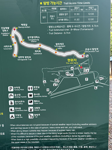
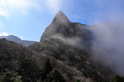
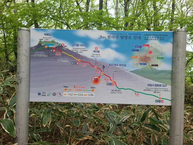
Gwaneumsa Trail | Hallasan National Park
Odeung-dong, Jeju-si, Jeju-do, South Korea
4.6(1.4K)
Closed
Save
spot
spot
Ratings & Description
Info
Outdoor
Adventure
Family friendly
attractions: , restaurants: Gwaneumsa Moksha Cafe, 관음사음식점, local businesses:
Phone
+82 64-756-9950
Website
jeju.go.kr
Open hoursSee all hours
Fri5 AM - 1 PMClosed
Plan your stay

Pet-friendly Hotels in Jeju
Find a cozy hotel nearby and make it a full experience.

Affordable Hotels in Jeju
Find a cozy hotel nearby and make it a full experience.

The Coolest Hotels You Haven't Heard Of (Yet)
Find a cozy hotel nearby and make it a full experience.

Trending Stays Worth the Hype in Jeju
Find a cozy hotel nearby and make it a full experience.
Reviews
Live events
Immerse yourself in the art of tea on Jeju Island
Fri, Jan 30 • 3:00 PM
Jeju Province, Jeju-si, 63341, South Korea
View details

Art props made of earth in a 100-year-old Jeju earth house
Sun, Feb 1 • 3:00 PM
Jeju Province, Jeju-si, 63056, South Korea
View details

Take a walk through the Hamdeok Seowubong Oreum and hear the hidden stories and take a life photo.
Fri, Jan 30 • 2:30 PM
Jeju Province, Jeju-si, 63333, South Korea
View details
Nearby restaurants of Gwaneumsa Trail | Hallasan National Park
Gwaneumsa Moksha Cafe
관음사음식점
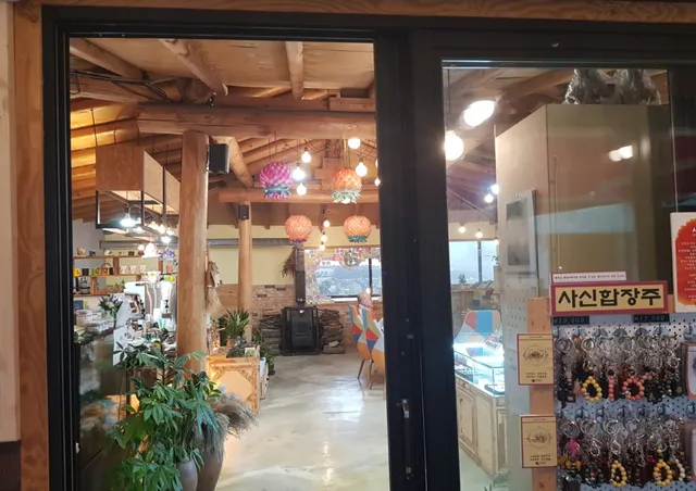
Gwaneumsa Moksha Cafe
4.5
(2)
Click for details

관음사음식점
2.0
(2)
Click for details