Top of Hallasan Mountain things to do, attractions, restaurants, events info and trip planning
Basic Info
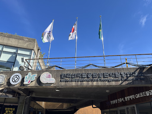
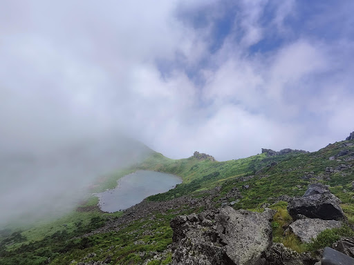
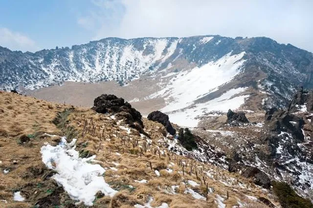
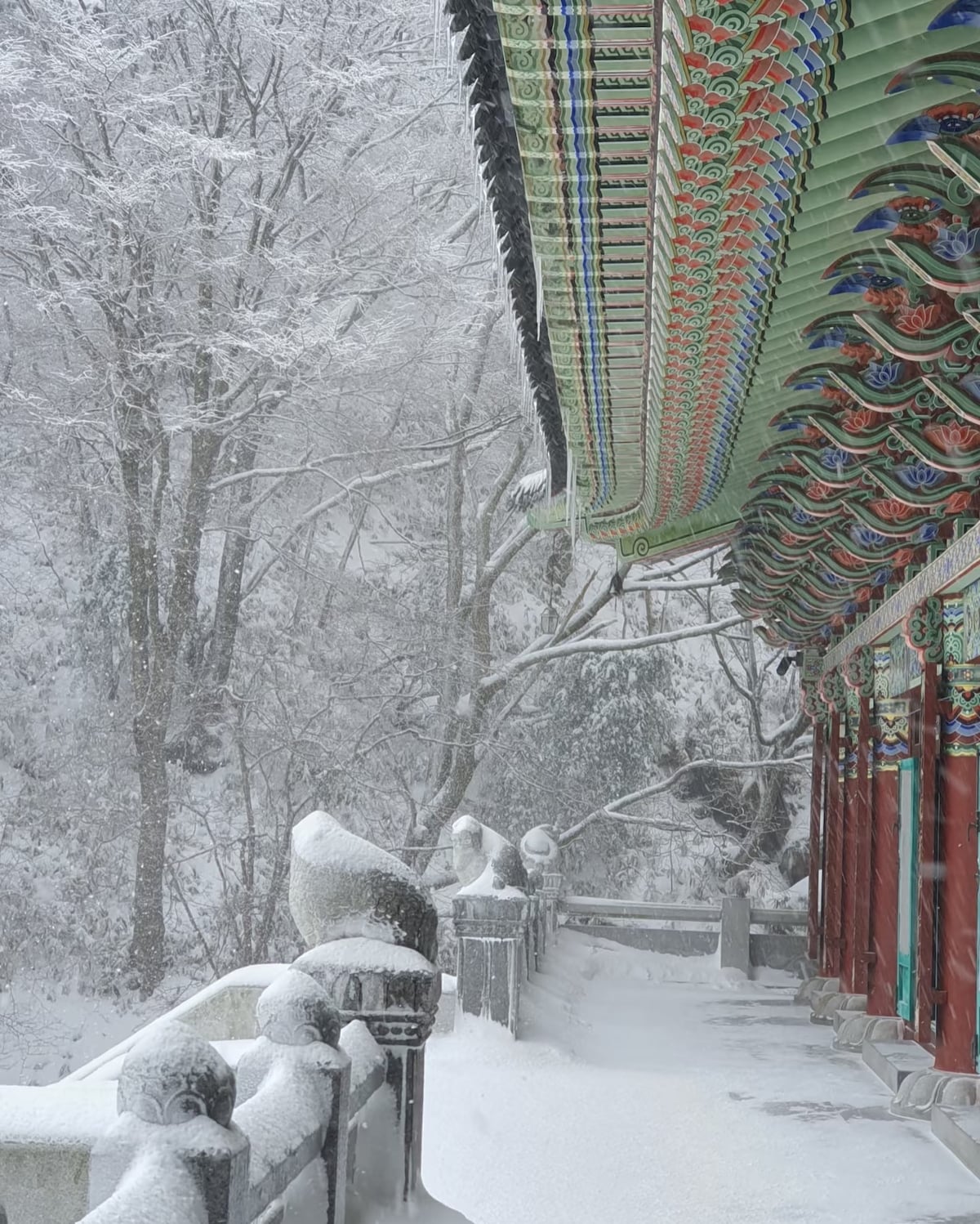
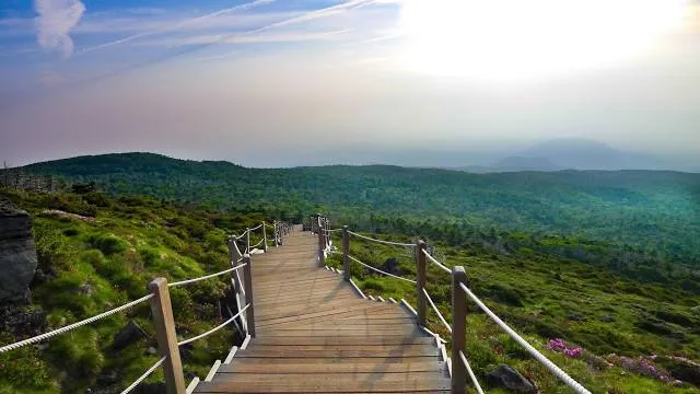
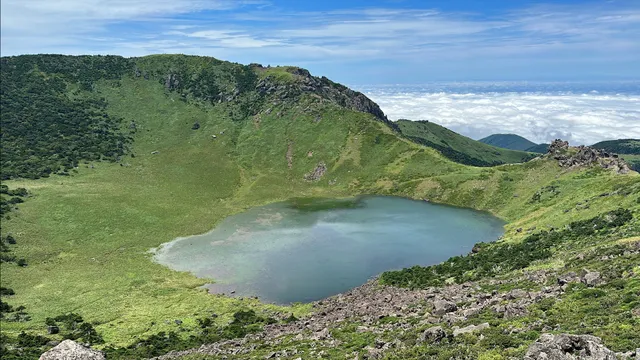
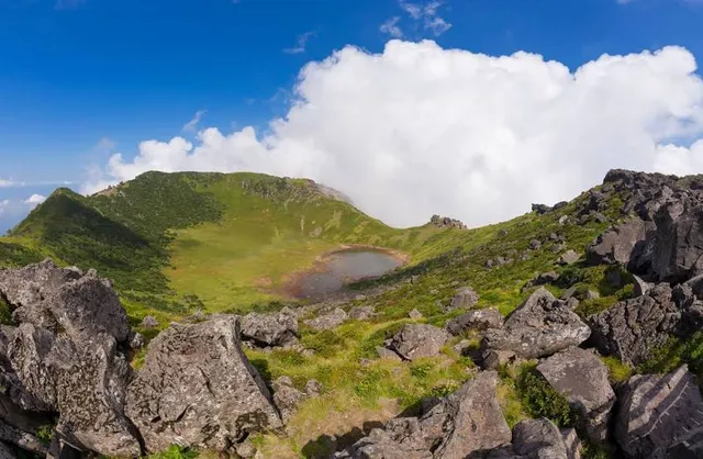
Top of Hallasan Mountain
Odeung-dong, 특별자치도, Jeju-si, Jeju-do, South Korea
4.9(319)
Open 24 hours
Save
spot
spot
Ratings & Description
Info
Outdoor
Adventure
Scenic
Off the beaten path
attractions: Hallasan National Park, restaurants: , local businesses: Hallasan, Hallasan
Website
visithalla.jeju.go.kr
Plan your stay

Pet-friendly Hotels in Seogwipo-si
Find a cozy hotel nearby and make it a full experience.

Affordable Hotels in Seogwipo-si
Find a cozy hotel nearby and make it a full experience.

The Coolest Hotels You Haven't Heard Of (Yet)
Find a cozy hotel nearby and make it a full experience.

Trending Stays Worth the Hype in Seogwipo-si
Find a cozy hotel nearby and make it a full experience.
Reviews
Live events

Take a walk around Oreum and Gotjawal, listen to fun stories, and take a life photo
Tue, Jan 27 • 12:00 PM
Jeju Province, Jeju-si, 63333, South Korea
View details
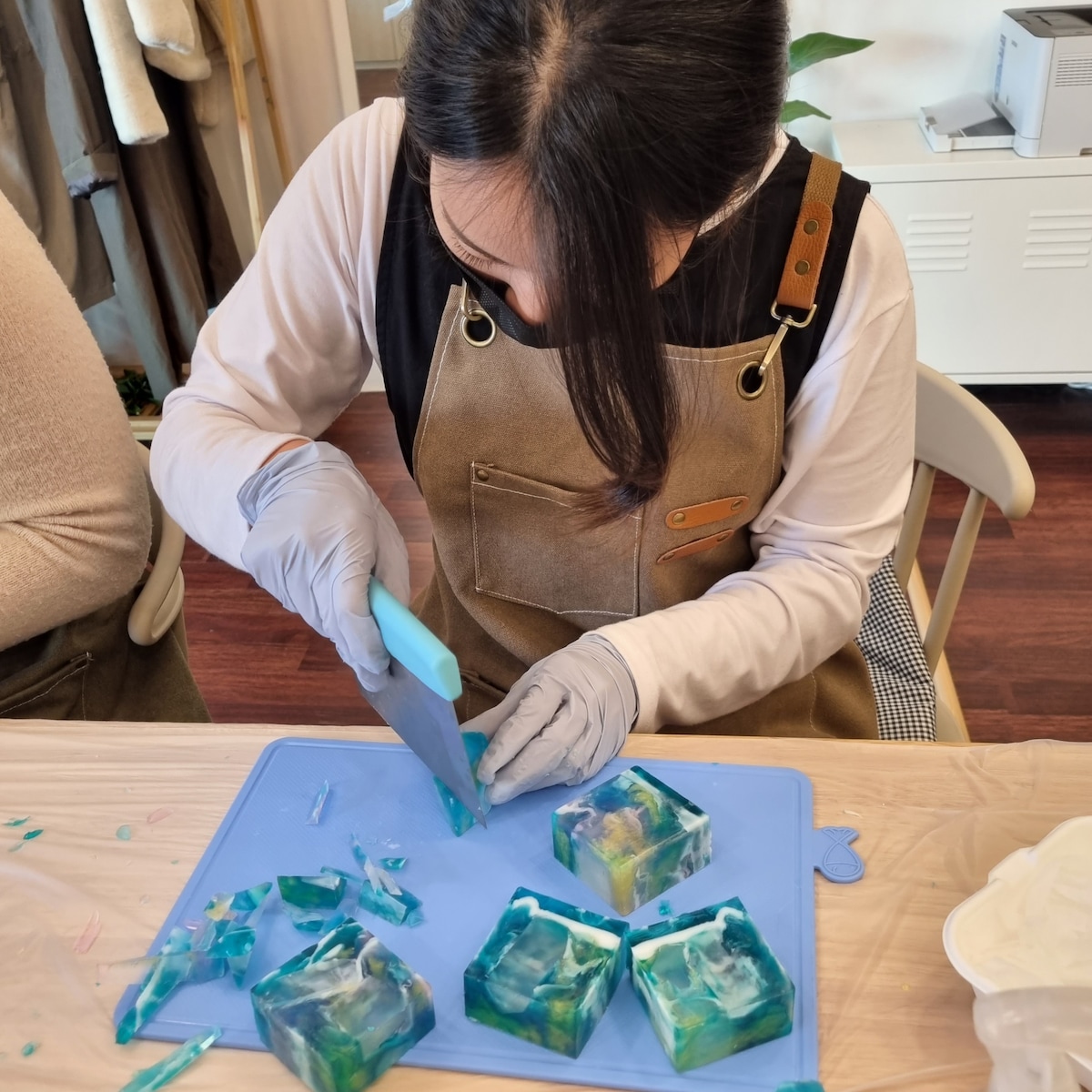
Make soap that resembles the sea of Jeju
Tue, Jan 27 • 1:30 PM
Jeju Province, Jeju-si, 63095, South Korea
View details
Explore Jeju: Private Car Tour with a Local
Wed, Jan 28 • 9:00 AM
Jeju Province, Jeju-si, 63143, South Korea
View details
Nearby attractions of Top of Hallasan Mountain
Hallasan National Park
Hallasan National Park
4.7
(1.7K)
Open until 6:00 PM
Click for details
Nearby local services of Top of Hallasan Mountain
Hallasan
Hallasan
Hallasan
4.7
(439)
Click for details
Hallasan
4.7
(335)
Click for details