Barranco de Las Vacas things to do, attractions, restaurants, events info and trip planning
Basic Info
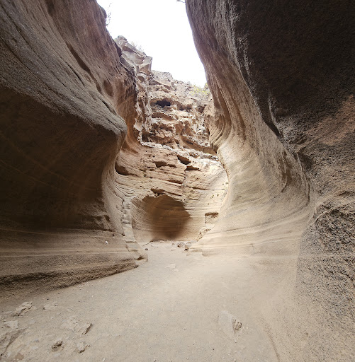
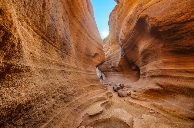
Barranco de Las Vacas
35270, Las Palmas, Spain
4.4(1.7K)
Open 24 hours
Save
spot
spot
Ratings & Description
Info
Outdoor
Adventure
Scenic
Pet friendly
attractions: , restaurants: , local businesses:
Plan your stay

Pet-friendly Hotels in Agüimes
Find a cozy hotel nearby and make it a full experience.

Affordable Hotels in Agüimes
Find a cozy hotel nearby and make it a full experience.

The Coolest Hotels You Haven't Heard Of (Yet)
Find a cozy hotel nearby and make it a full experience.

Trending Stays Worth the Hype in Agüimes
Find a cozy hotel nearby and make it a full experience.
Reviews
Live events

Candlelight: Tributo a Hans Zimmer
Wed, Feb 11 • 7:30 PM
Plaza de Cairasco, 1, Las Palmas de Gran Canaria, 35002
View details

Poema del Mar - Acuario Gran Canaria: Entrada sin colas
Wed, Feb 11 • 9:30 AM
Avenida de Los Consignatarios, s , 35008
View details

Candlelight: Tributo a Coldplay
Fri, Feb 13 • 8:30 PM
Calle Párroco Cárdenes, 3, Arucas, 35400
View details