Azuaje Ravine (Firgas) things to do, attractions, restaurants, events info and trip planning
Basic Info
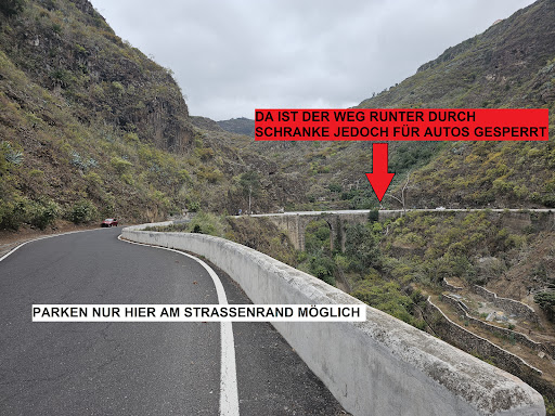
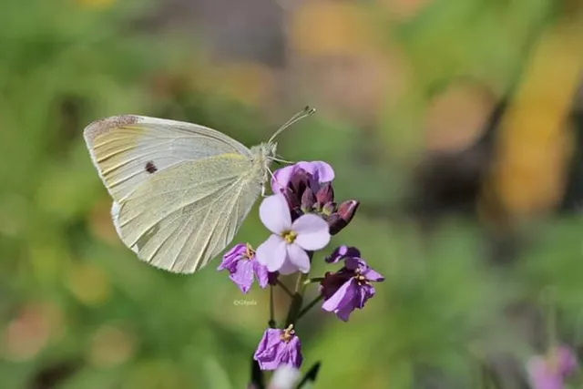
Azuaje Ravine (Firgas)
Azuaje, s/n, 35432 Barranco de la Verga, Las Palmas, Spain
4.6(314)
Closed
Save
spot
spot
Ratings & Description
Info
Outdoor
Adventure
Scenic
Off the beaten path
attractions: Plaza de San Roque, restaurants: El Rincon de Marcos, Firgas, Restaurante El Chiringuito de Firgas, Cafetería Churrería Villa de Firgas, La nueva Molienda, Kiosko La Plaza, Liceo de Firgas, local businesses: La Vinca Ecologistas En Acción
Website
elmundodemagec.com
Open hoursSee all hours
Sat10 AM - 2 PMClosed
Plan your stay

Pet-friendly Hotels in Firgas
Find a cozy hotel nearby and make it a full experience.

Affordable Hotels in Firgas
Find a cozy hotel nearby and make it a full experience.

The Coolest Hotels You Haven't Heard Of (Yet)
Find a cozy hotel nearby and make it a full experience.

Trending Stays Worth the Hype in Firgas
Find a cozy hotel nearby and make it a full experience.
Reviews
Live events
Learn Green Witchcraft in Azuaje
Mon, Mar 2 • 9:00 AM
35432, Firgas, Canary Islands, Spain
View details
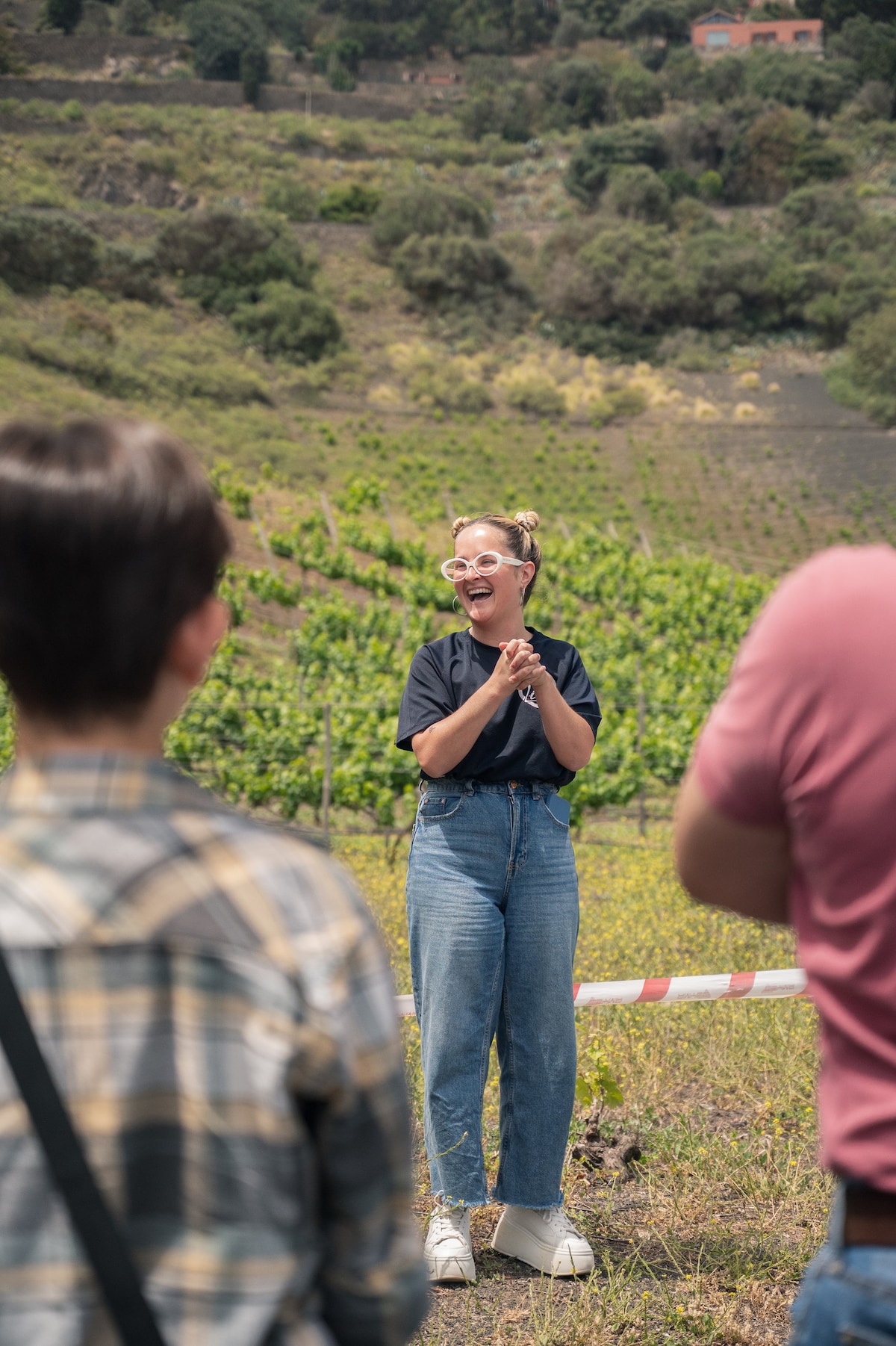
Explore Canarian Wine
Thu, Mar 5 • 12:00 PM
35017, Las Palmas, Canarias, Spain
View details
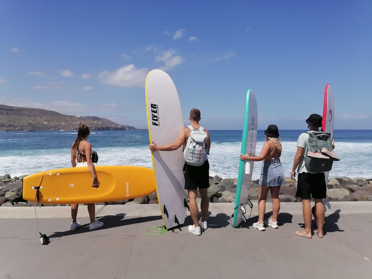
Surf Lesson in Gran Canaria
Sat, Feb 28 • 10:00 AM
35016, Las Palmas de Gran Canaria, Canarias, Spain
View details
Nearby attractions of Azuaje Ravine (Firgas)
Plaza de San Roque
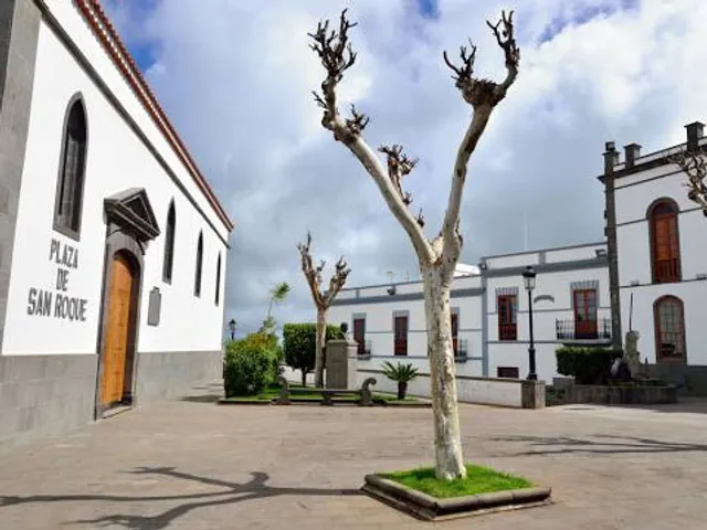
Plaza de San Roque
4.8
(10)
Open until 12:00 AM
Click for details
Nearby restaurants of Azuaje Ravine (Firgas)
El Rincon de Marcos, Firgas
Restaurante El Chiringuito de Firgas
Cafetería Churrería Villa de Firgas
La nueva Molienda
Kiosko La Plaza
Liceo de Firgas
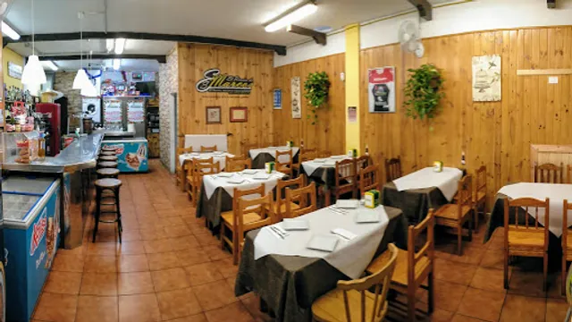
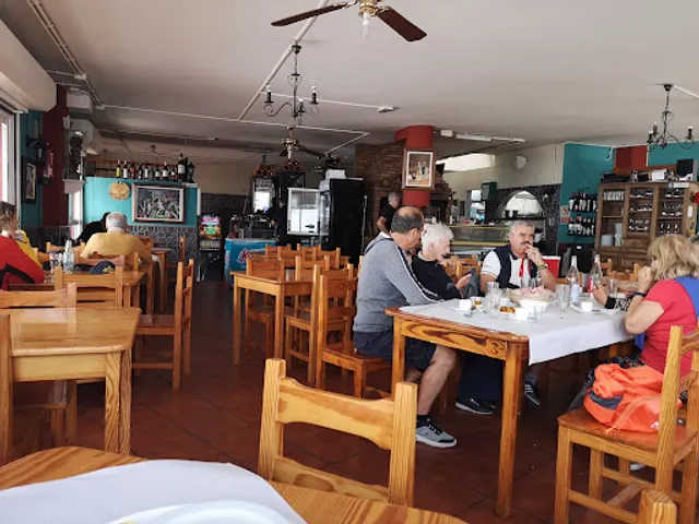
El Rincon de Marcos, Firgas
4.4
(786)
Closed
Click for details
Restaurante El Chiringuito de Firgas
4.2
(571)
Closed
Click for details
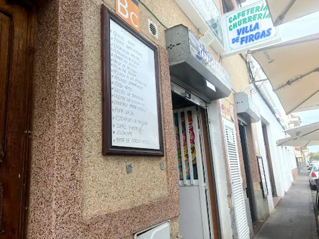
Cafetería Churrería Villa de Firgas
4.2
(147)
Open until 5:00 PM
Click for details
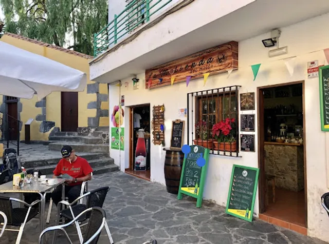
La nueva Molienda
4.1
(126)
Closed
Click for details
Nearby local services of Azuaje Ravine (Firgas)
La Vinca Ecologistas En Acción
La Vinca Ecologistas En Acción
4.8
(18)
Click for details