El Gollizno Route things to do, attractions, restaurants, events info and trip planning
Basic Info
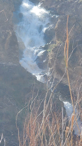
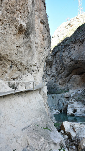
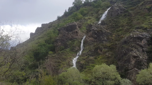
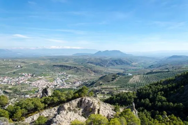
El Gollizno Route
Pl. España, 1, 18247 Moclín, Granada, Spain
4.6(900)
Open until 12:00 AM
Save
spot
spot
Ratings & Description
Info
Outdoor
Adventure
Family friendly
attractions: Castillo de Moclín, Fuente de Corcuela, restaurants: Breaking Bar La Plaza, local businesses: Fuente Vieja
Phone
+34 958 40 30 51
Website
ayuntamientodemoclin.com
Open hoursSee all hours
ThuOpen 24 hoursOpen
Plan your stay

Pet-friendly Hotels in Moclín
Find a cozy hotel nearby and make it a full experience.

Affordable Hotels in Moclín
Find a cozy hotel nearby and make it a full experience.

The Coolest Hotels You Haven't Heard Of (Yet)
Find a cozy hotel nearby and make it a full experience.

Trending Stays Worth the Hype in Moclín
Find a cozy hotel nearby and make it a full experience.
Reviews
Live events
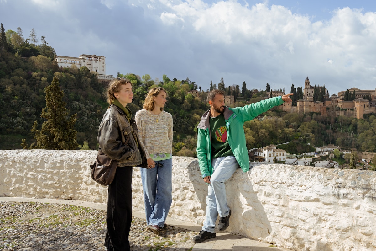
Alhambra Tour with an Energetic Storyteller
Sun, Feb 15 • 9:00 AM
18009, Granada, Andalusia, Spain
View details
Tour the Albaicín and Sacromonte
Thu, Feb 12 • 9:00 AM
18010, Granada, Andalusia, Spain
View details
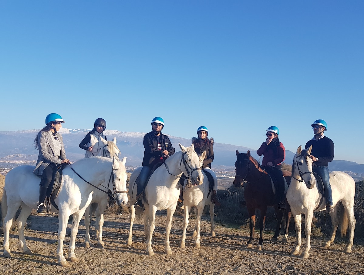
Ride through Montevives natural beauty
Thu, Feb 12 • 10:30 AM
18110, Las Gabias, Andalucía, Spain
View details
Nearby attractions of El Gollizno Route
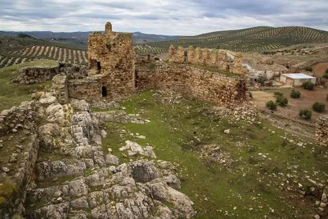
Castillo de Moclín
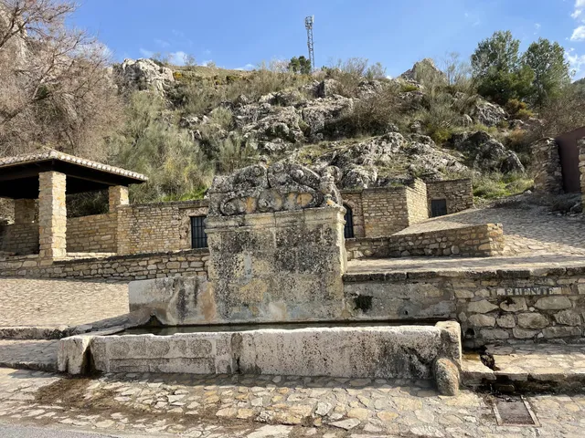
Fuente de Corcuela
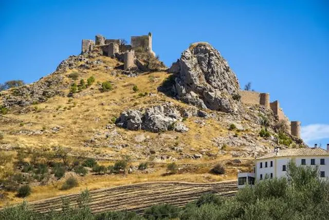
Castillo de Moclín
4.4
(182)
Open 24 hours
Click for details
Fuente de Corcuela
4.6
(170)
Open until 12:00 AM
Click for details
Nearby restaurants of El Gollizno Route
Breaking Bar La Plaza
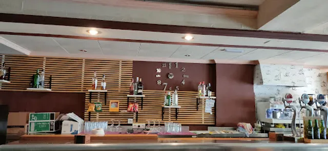
Breaking Bar La Plaza
4.1
(117)
Open until 4:00 PM
Click for details
Nearby local services of El Gollizno Route
Fuente Vieja
Fuente Vieja
4.7
(8)
Click for details