Sendero La Garganta Verde + Barranquismo things to do, attractions, restaurants, events info and trip planning
Basic Info
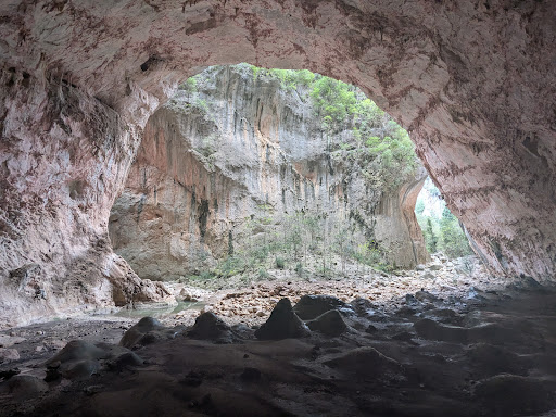
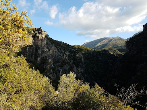
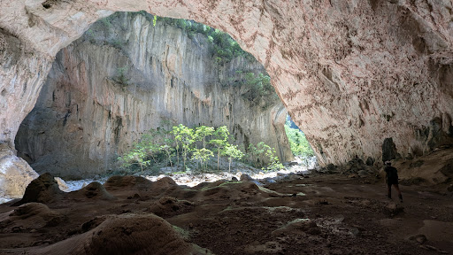
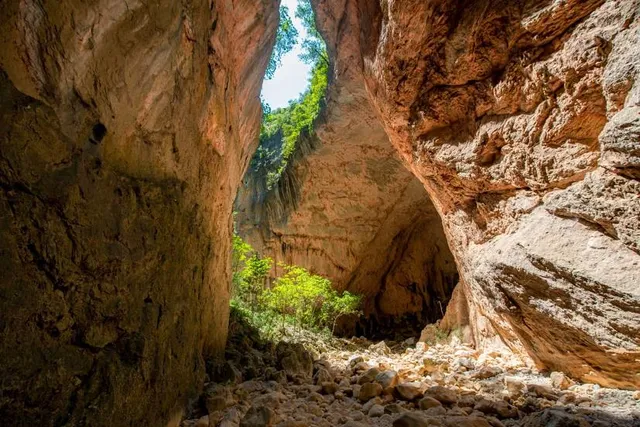
Sendero La Garganta Verde + Barranquismo
CA-9104, 11688 Zahara de la Sierra, Cádiz, Spain
4.7(286)
Open until 12:00 AM
Save
spot
spot
Ratings & Description
Info
Outdoor
Adventure
Scenic
Pet friendly
attractions: Sendero de Los Llanos de Rabel, Mirador "Puerto de los Acebuches", restaurants: , local businesses:
Phone
+34 693 28 15 34
Website
juntadeandalucia.es
Open hoursSee all hours
FriOpen 24 hoursOpen
Plan your stay

Pet-friendly Hotels in Zahara
Find a cozy hotel nearby and make it a full experience.

Affordable Hotels in Zahara
Find a cozy hotel nearby and make it a full experience.

The Coolest Hotels You Haven't Heard Of (Yet)
Find a cozy hotel nearby and make it a full experience.

Trending Stays Worth the Hype in Zahara
Find a cozy hotel nearby and make it a full experience.
Reviews
Live events

Climb the Tajo de Ronda
Fri, Feb 13 • 9:45 AM
29400, Ronda, Andalusia, Spain
View details
Ronda: Visita a la ciudad con Audioguía en la App Móvil
Sun, Feb 1 • 12:00 AM
Ronda, 29400
View details
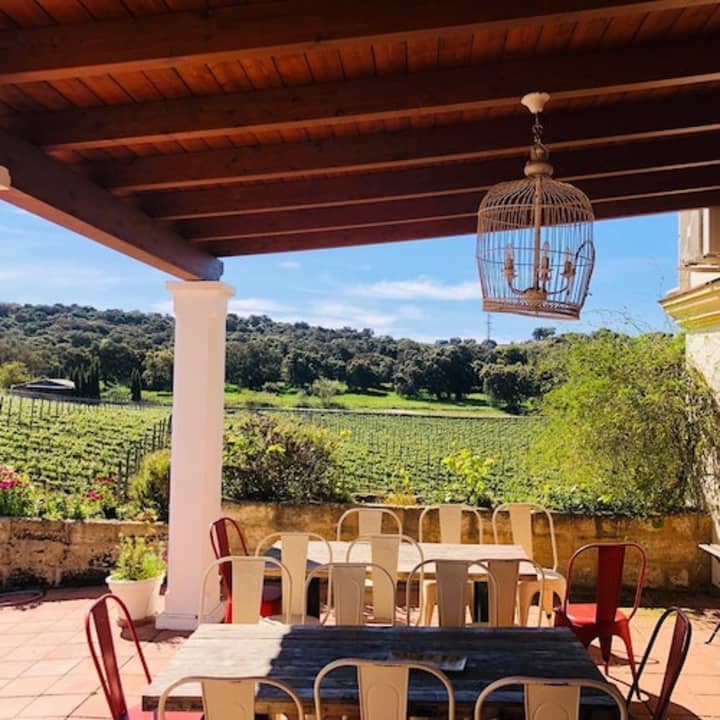
Bodega Doña Felisa: Visita guiada y cata de vinos o comida
Sat, Feb 14 • 11:30 AM
Cordel del Puerto al Quejigal, s , Ronda, 29400
View details
Nearby attractions of Sendero La Garganta Verde + Barranquismo
Sendero de Los Llanos de Rabel
Mirador "Puerto de los Acebuches"
Sendero de Los Llanos de Rabel
4.6
(194)
Open until 12:00 AM
Click for details
Mirador "Puerto de los Acebuches"
4.6
(78)
Open until 12:00 AM
Click for details