Mannar Dutch Fort things to do, attractions, restaurants, events info and trip planning
Basic Info
Mannar Dutch Fort
Mannar Dutch Fort, 41000, Mannar 41000, Sri Lanka
4.3(459)
Closed
Save
spot
spot
Ratings & Description
Info
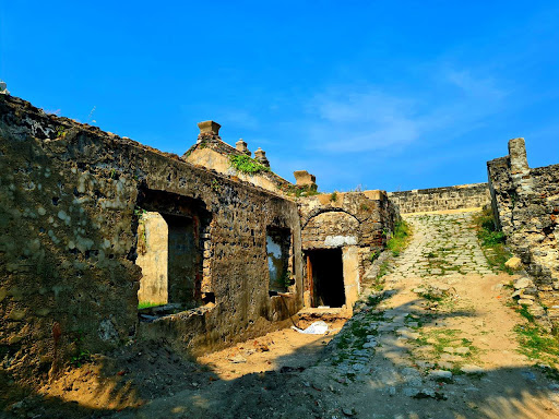
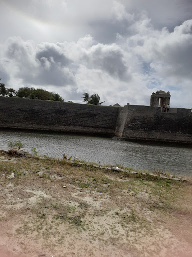
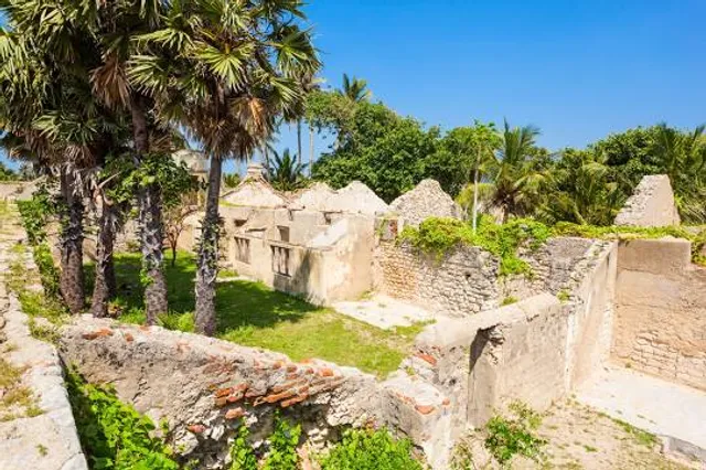
Mannar Fort is located on Mannar Island, Sri Lanka. It was built by Portuguese in 1560. The fort fell to the Dutch in 1658, and they rebuilt the fort in 1696. In 1795 the British occupied the fort following the surrender by the Dutch.
Cultural
Scenic
Family friendly
attractions: , restaurants: , local businesses: Mannar bridge, Baobab Tree Pallimunai, Mannar
Phone
+94 77 087 9703
Open hoursSee all hours
Sat8 AM - 6 PMClosed
Plan your stay

Pet-friendly Hotels in Northern Province
Find a cozy hotel nearby and make it a full experience.

Affordable Hotels in Northern Province
Find a cozy hotel nearby and make it a full experience.

The Coolest Hotels You Haven't Heard Of (Yet)
Find a cozy hotel nearby and make it a full experience.

Trending Stays Worth the Hype in Northern Province
Find a cozy hotel nearby and make it a full experience.
Reviews
Nearby local services of Mannar Dutch Fort
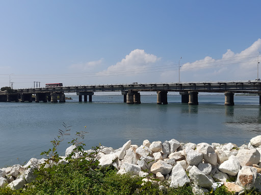
Mannar bridge
Baobab Tree Pallimunai, Mannar

Mannar bridge
4.3
(14)
Click for details

Baobab Tree Pallimunai, Mannar
4.3
(422)
Click for details