Martorpsfallet things to do, attractions, restaurants, events info and trip planning
Basic Info
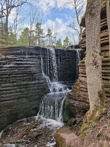
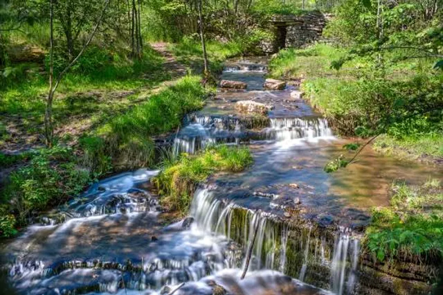
Martorpsfallet
533 95 Götene, Sweden
4.1(186)
Open until 12:00 AM
Save
spot
spot
Ratings & Description
Info
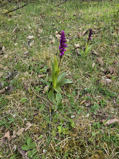
Outdoor
Adventure
Scenic
Family friendly
Pet friendly
Off the beaten path
attractions: , restaurants: , local businesses:
Phone
+46 72 740 09 10
Open hoursSee all hours
SatOpen 24 hoursOpen
Plan your stay

Pet-friendly Hotels in Götene kommun
Find a cozy hotel nearby and make it a full experience.

Affordable Hotels in Götene kommun
Find a cozy hotel nearby and make it a full experience.

The Coolest Hotels You Haven't Heard Of (Yet)
Find a cozy hotel nearby and make it a full experience.

Trending Stays Worth the Hype in Götene kommun
Find a cozy hotel nearby and make it a full experience.