Hardergrat things to do, attractions, restaurants, events info and trip planning

Basic Info
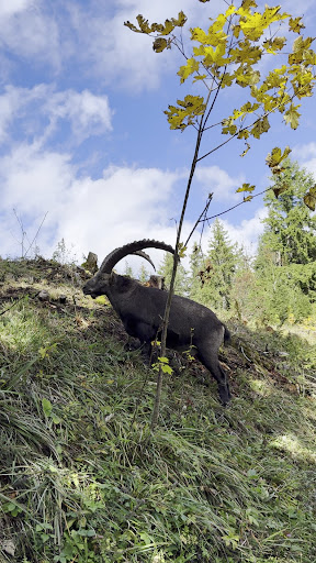
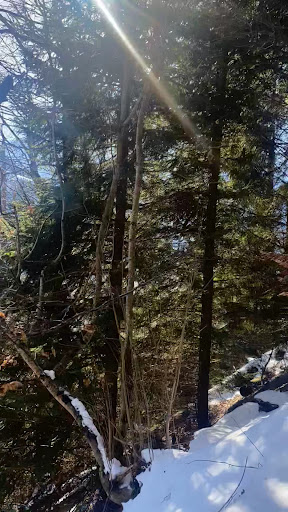
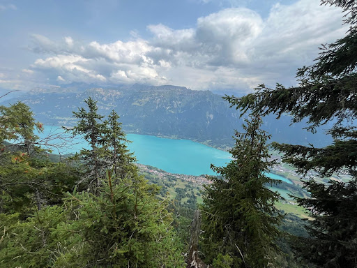
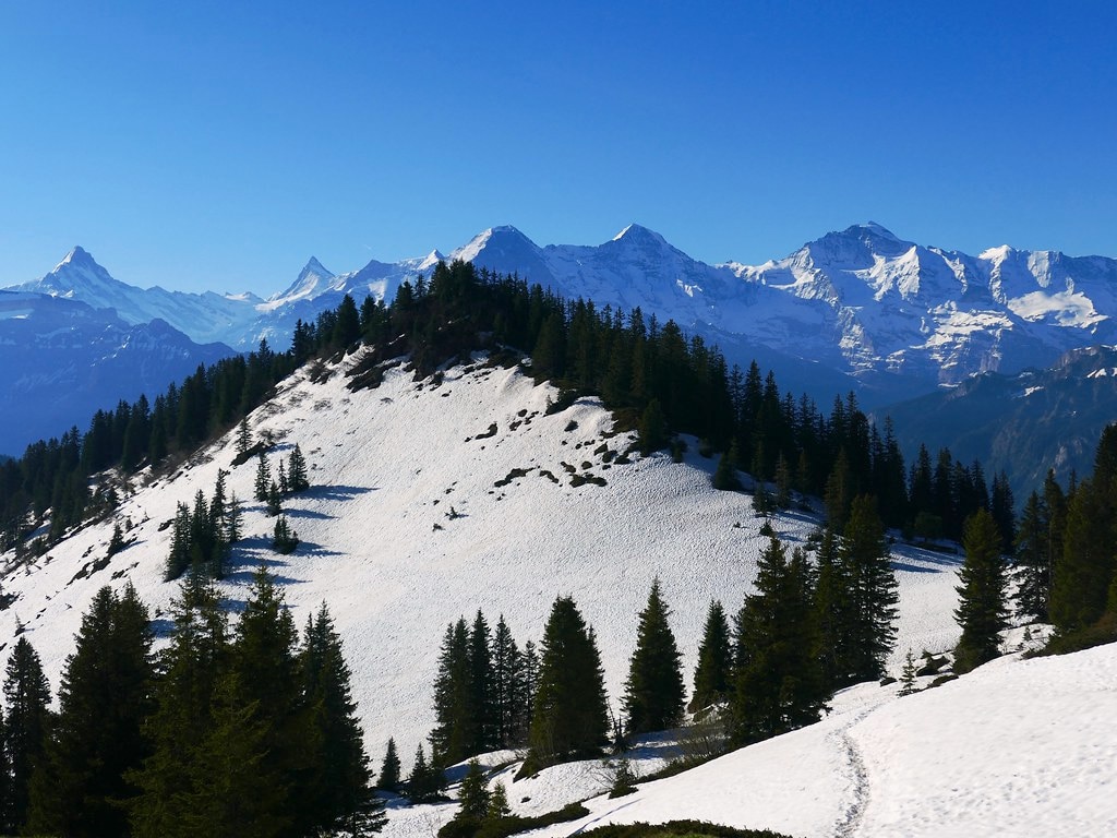
Hardergrat
Dorf, 3804 Habkern, Switzerland
4.9(26)
Open until 12:00 AM
Save
spot
spot
Ratings & Description
Info
Outdoor
Adventure
Scenic
Off the beaten path
attractions: , restaurants: , local businesses:
Open hoursSee all hours
WedOpen 24 hoursOpen
Plan your stay

Pet-friendly Hotels in Habkern
Find a cozy hotel nearby and make it a full experience.

Affordable Hotels in Habkern
Find a cozy hotel nearby and make it a full experience.

The Coolest Hotels You Haven't Heard Of (Yet)
Find a cozy hotel nearby and make it a full experience.

Trending Stays Worth the Hype in Habkern
Find a cozy hotel nearby and make it a full experience.
Reviews
Live events
Explore winter wonderland above Interlaken
Sat, Feb 28 • 8:00 AM
3800, Interlaken, Switzerland
View details
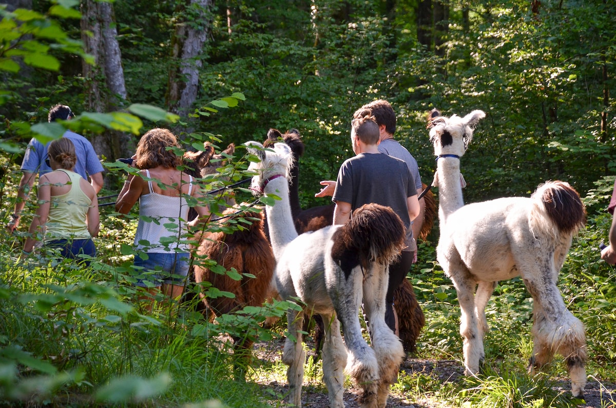
Llama and alpaca walks
Tue, Mar 3 • 9:30 AM
6063, Stalden, Switzerland
View details

Om Chanting
Thu, Feb 26 • 7:30 PM
25 Oberdorfstrasse 3612 Steffisburg
View details