Jialishan Trail things to do, attractions, restaurants, events info and trip planning

Basic Info
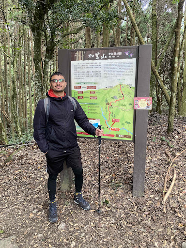
Jialishan Trail
353, Taiwan, Miaoli County, Nanzhuang Township
4.7(349)
Open until 12:00 AM
Save
spot
spot
Ratings & Description
Info
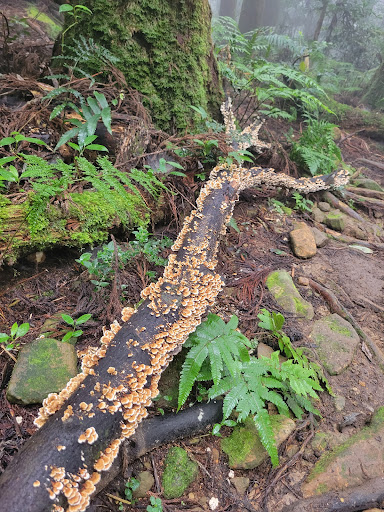
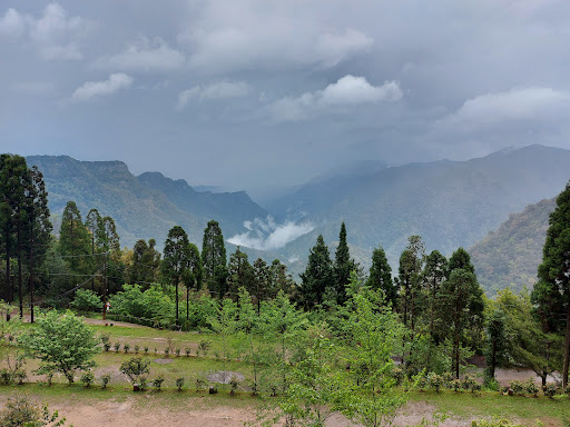
Outdoor
Adventure
Scenic
Family friendly
Pet friendly
Off the beaten path
attractions: Jialishan Trailhead Forest Camping Area, restaurants: , local businesses: 風美溪
Website
hikingbook.net
Open hoursSee all hours
SatOpen 24 hoursOpen
Plan your stay

Pet-friendly Hotels in Nanzhuang
Find a cozy hotel nearby and make it a full experience.

Affordable Hotels in Nanzhuang
Find a cozy hotel nearby and make it a full experience.

The Coolest Hotels You Haven't Heard Of (Yet)
Find a cozy hotel nearby and make it a full experience.

Trending Stays Worth the Hype in Nanzhuang
Find a cozy hotel nearby and make it a full experience.
Reviews
Nearby attractions of Jialishan Trail
Jialishan Trailhead Forest Camping Area

Jialishan Trailhead Forest Camping Area
4.5
(490)
Open until 12:00 AM
Click for details
Nearby local services of Jialishan Trail
風美溪

風美溪
4.2
(71)
Click for details