知高圳步道 things to do, attractions, restaurants, events info and trip planning
Basic Info
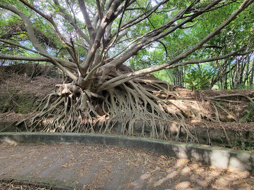
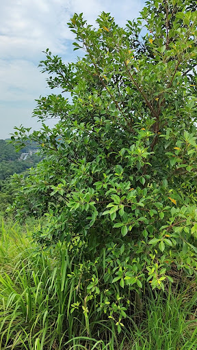
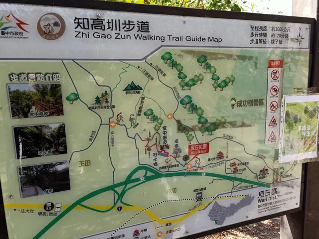
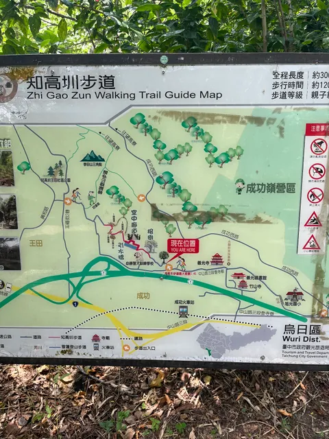
知高圳步道
414, Taiwan, Taichung City, Wuri District, 中山路三段登寺巷176號
4.3(1.4K)
Open until 12:00 AM
Save
spot
spot
Ratings & Description
Info
outdoor
scenic
adventure
attractions: 知高圳好漢坡/雪蓮登山步道, restaurants: , local businesses:
Phone
+886 4 2228 9111
Website
travel.taichung.gov.tw
Open hoursSee all hours
WedOpen 24 hoursOpen
Plan your stay

Pet-friendly Hotels in Taichung
Find a cozy hotel nearby and make it a full experience.

Affordable Hotels in Taichung
Find a cozy hotel nearby and make it a full experience.

The Coolest Hotels You Haven't Heard Of (Yet)
Find a cozy hotel nearby and make it a full experience.

Trending Stays Worth the Hype in Taichung
Find a cozy hotel nearby and make it a full experience.
Reviews
Live events

Take a Breathe with U& My.
Wed, Feb 25 • 11:30 AM
FengLe Sculpture Park, 408, Taiwan, Taichung City, Nantun District, 文心南五路一段331號
View details
重塑組織工作坊:青色組織的起源與運作方式
Thu, Feb 26 • 1:30 AM
Wuri District, Taichung City
View details
Nearby attractions of 知高圳步道
知高圳好漢坡/雪蓮登山步道
知高圳好漢坡/雪蓮登山步道
4.3
(290)
Open until 12:00 AM
Click for details