Doi Suthep Hiking Trail (Wat Pha Lat) things to do, attractions, restaurants, events info and trip planning
Basic Info
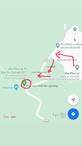
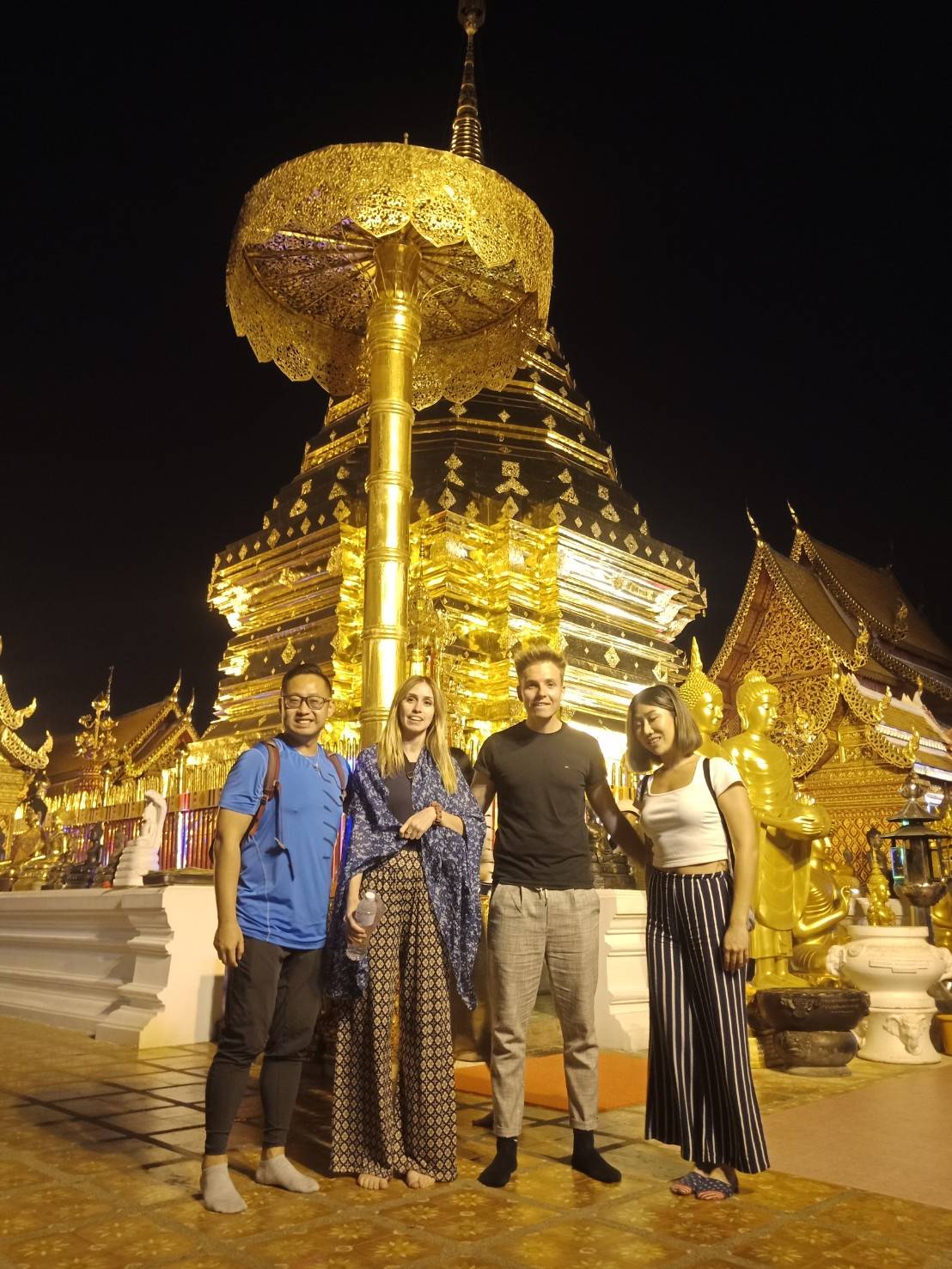
Doi Suthep Hiking Trail (Wat Pha Lat)
QWXJ+JM4, Tambon Su Thep, Mueang Chiang Mai District, Chiang Mai 50200, Thailand
4.2(132)
Open until 12:00 AM
Save
spot
spot
Ratings & Description
Info
Outdoor
Adventure
Scenic
Off the beaten path
attractions: Wat Pha Lat, restaurants: Hug Him Doi Thai Coffee, local businesses: Wat Anagami (abandoned)
Open hoursSee all hours
FriOpen 24 hoursOpen
Plan your stay

Pet-friendly Hotels in Chiang Mai Province
Find a cozy hotel nearby and make it a full experience.

Affordable Hotels in Chiang Mai Province
Find a cozy hotel nearby and make it a full experience.

The Coolest Hotels You Haven't Heard Of (Yet)
Find a cozy hotel nearby and make it a full experience.

Trending Stays Worth the Hype in Chiang Mai Province
Find a cozy hotel nearby and make it a full experience.
Reviews
Live events

Aromdii Thai cooking
Sat, Feb 14 • 9:00 AM
Haiya Sub-district, Chiang Mai, 50100, Thailand
View details

Cook Thai Dishes on Grandmas Organic Farm
Thu, Feb 19 • 12:00 PM
Saraphi, Chiang Mai, 50140, Thailand
View details
Doi Suthep Temple & Wat Pha Lat Hike
Fri, Feb 13 • 1:30 PM
Tambon Chang Khlan, Chang Wat Chiang Mai, 50200, Thailand
View details
Nearby attractions of Doi Suthep Hiking Trail (Wat Pha Lat)
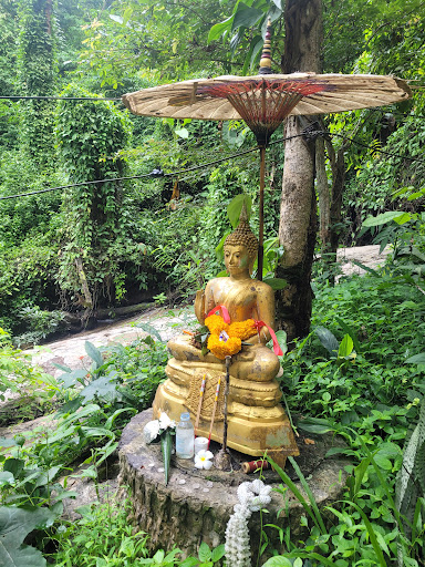
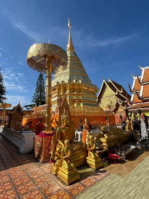
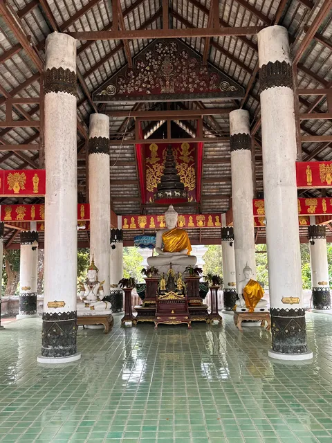
Wat Pha Lat

Wat Pha Lat
4.8
(3.1K)
Open until 5:30 PM
Click for details
Nearby restaurants of Doi Suthep Hiking Trail (Wat Pha Lat)
Hug Him Doi Thai Coffee
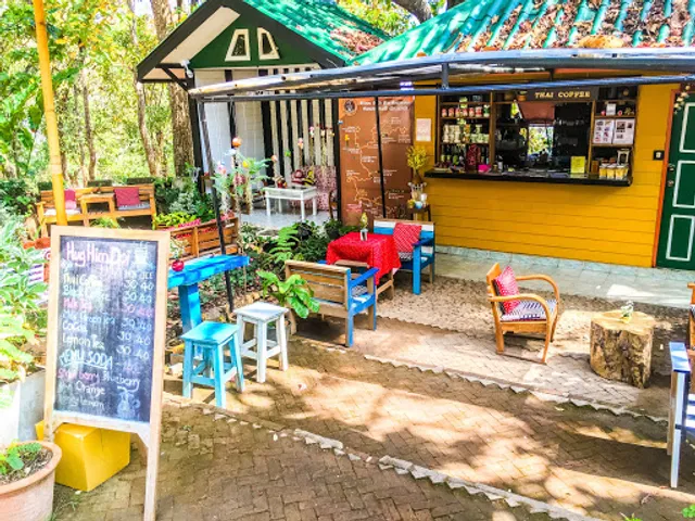
Hug Him Doi Thai Coffee
4.4
(45)
Open until 6:00 PM
Click for details
Nearby local services of Doi Suthep Hiking Trail (Wat Pha Lat)
Wat Anagami (abandoned)
Wat Anagami (abandoned)
3.6
(24)
Click for details