Namtok Yong National Park things to do, attractions, restaurants, events info and trip planning
Basic Info
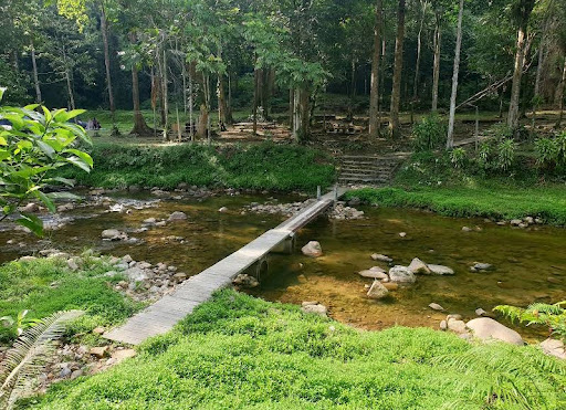
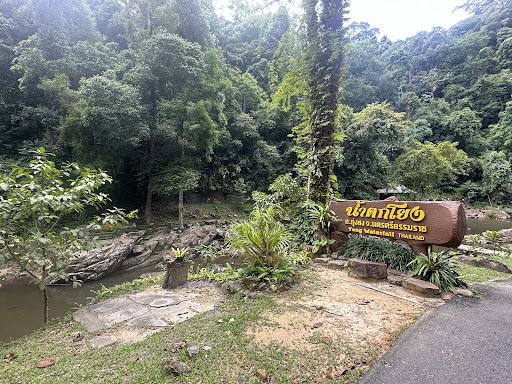
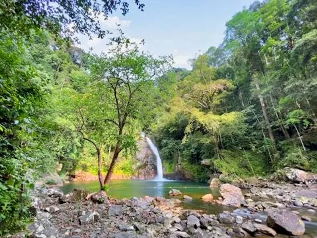
Namtok Yong National Park
5PCR+WP8 ซอย น้ำตกโยง Thung Song District, Nakhon Si Thammarat 80110, Thailand
4.6(431)
Closed
Save
spot
spot
Ratings & Description
Info
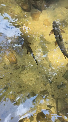
Outdoor
Adventure
Scenic
Family friendly
Pet friendly
attractions: , restaurants: , local businesses:
Phone
+66 75 809 277
Website
facebook.com
Open hoursSee all hours
Tue8:30 AM - 4:30 PMClosed
Plan your stay

Pet-friendly Hotels in Nakhon Si Thammarat Province
Find a cozy hotel nearby and make it a full experience.

Affordable Hotels in Nakhon Si Thammarat Province
Find a cozy hotel nearby and make it a full experience.

The Coolest Hotels You Haven't Heard Of (Yet)
Find a cozy hotel nearby and make it a full experience.

Trending Stays Worth the Hype in Nakhon Si Thammarat Province
Find a cozy hotel nearby and make it a full experience.