ยอดเขาเทวดา อุทยานแห่งชาติพุเตย things to do, attractions, restaurants, events info and trip planning
Basic Info
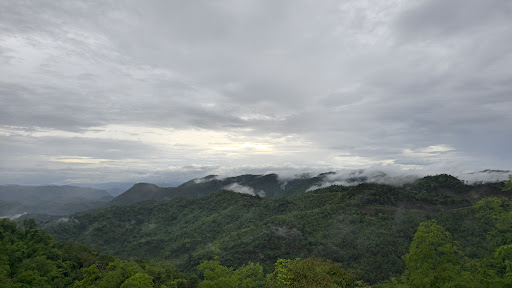
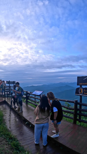
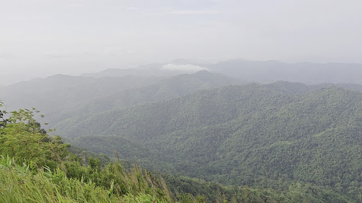
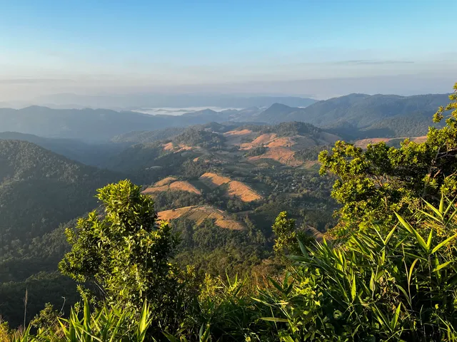
ยอดเขาเทวดา อุทยานแห่งชาติพุเตย
2823+58W, Wang Yao, Dan Chang District, Suphan Buri 72180, Thailand
4.7(301)
Open until 4:30 PM

tickets
Save
spot
spot
Ratings & Description
Info
attractions: , restaurants: , local businesses:
Phone
+66 35 960 240
Open hoursSee all hours
Wed8 AM - 4:30 PMOpen
Plan your stay

Pet-friendly Hotels in Suphan Buri Province
Find a cozy hotel nearby and make it a full experience.

Affordable Hotels in Suphan Buri Province
Find a cozy hotel nearby and make it a full experience.

The Coolest Hotels You Haven't Heard Of (Yet)
Find a cozy hotel nearby and make it a full experience.

Trending Stays Worth the Hype in Suphan Buri Province
Find a cozy hotel nearby and make it a full experience.