Tilman mound things to do, attractions, restaurants, events info and trip planning
Basic Info
Tilman mound
Karapolat, 27800 İslahiye/Gaziantep, Türkiye
4.3(116)
Open 24 hours
Save
spot
spot
Ratings & Description
Info
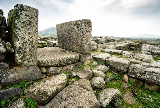
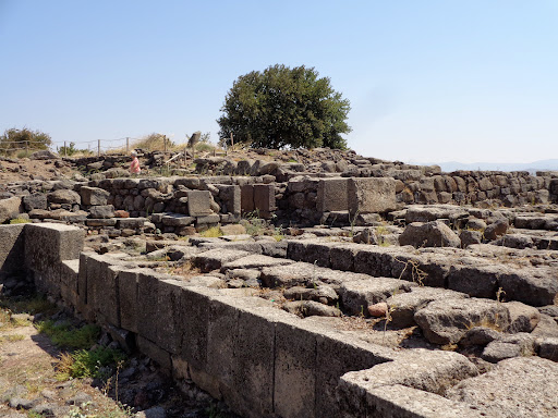
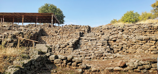
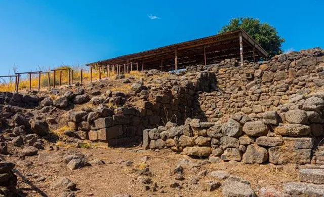
Tilmen Höyük is an archaeological mound located near the town of Islahiye, in the Gaziantep province of Turkey. It is 225 meters in diameter and 21 meters high on the shores of Karasu River. It is located on the western edge of the Sakçagözü Plain. It is very near the Amanos Mountains.
Cultural
Outdoor
Scenic
Off the beaten path
attractions: , restaurants: , local businesses:
Plan your stay

Pet-friendly Hotels in Islahiye
Find a cozy hotel nearby and make it a full experience.

Affordable Hotels in Islahiye
Find a cozy hotel nearby and make it a full experience.

The Coolest Hotels You Haven't Heard Of (Yet)
Find a cozy hotel nearby and make it a full experience.

Trending Stays Worth the Hype in Islahiye
Find a cozy hotel nearby and make it a full experience.