Bwindi Impenetrable Forest National Park, located in southwestern Uganda, is a natural wonder that lives up to its name. Viewing this extraordinary UNESCO World Heritage Site through a detailed map unveils not only its thick vegetation and rugged terrain but also the intricate network of trails, villages, and conservation zones that define the park's character.
The first impression from the map is the sheer density of the forest. The park spans over 321 square kilometers and is mapped as a patchwork of steep ridges, narrow valleys, and deeply forested slopes. The topography is clearly rugged, with altitude levels ranging from about 1,160 to over 2,600 meters. The elevation contours and shading help highlight just how mountainous this rainforest is, which contributes to its status as a biodiversity hotspot.
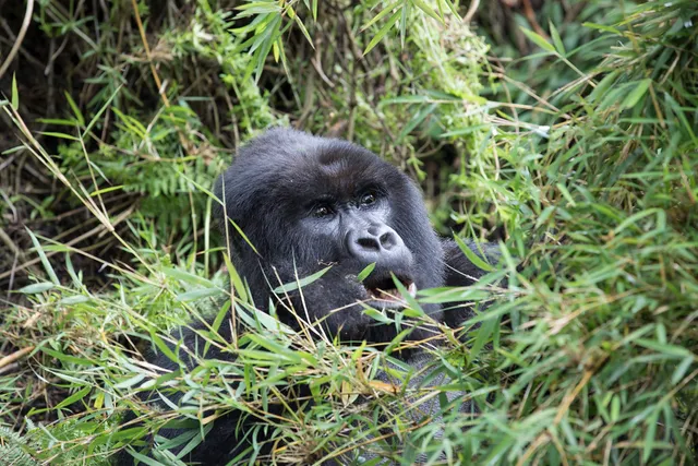
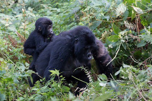
The map efficiently marks out the major sectors of the park: Buhoma in the north, Ruhija in the northeast, Rushaga and Nkuringo in the south. These sectors are vital access points for gorilla trekking, and each is shown with clear labels indicating ranger posts, lodges, and trailheads. The division of sectors is not just for orientation—it’s also critical because gorilla families are habituated to specific areas, and permits are issued per sector. The map reflects this structure well, allowing travelers to plan logistics accordingly.
Several hiking trails are marked, including the Munyaga River Trail, Waterfall Trail, and Rushura Hill Trail in the Buhoma sector. These are crucial for visitors interested in forest walks and bird watching. The network of footpaths is woven through the forest and often follows natural features such as streams and ridge lines, which are visible on the map. The Impenetrable aspect of the forest is tangible even in map form—it is a maze of green, intersected by only a few narrow access routes.
Community boundaries and nearby villages such as Kanyanchu and Rubuguri are also shown, underlining the coexistence of conservation and local livelihoods. This is significant, as community-based tourism is central to Bwindi’s success story. The map subtly reflects how conservation areas and human settlements lie side-by-side, emphasizing the delicate balance between protecting endangered mountain gorillas and supporting local economies.
Water sources such as rivers and waterfalls are also marked, important not just for navigation but also for understanding the ecology of the area. These freshwater sources help sustain the thick forest and are lifelines for the fauna.
From a practical standpoint, the map includes access roads from Kabale and Kisoro, the two main towns that link Bwindi with the rest of Uganda. Road conditions are rough, and this is depicted with line textures indicating gravel or unpaved roads, a useful touch for visitors planning overland journeys.
Overall, the map of Bwindi Impenetrable Forest National Park is both informative and inspiring. It captures the intense greenery, complex topography, and structured eco-tourism approach of one of Africa’s most biologically rich and emotionally moving destinations. Whether you're tracking gorillas or exploring its misty trails, the map sets the stage for a true...
Read more