Helvellyn things to do, attractions, restaurants, events info and trip planning
Basic Info
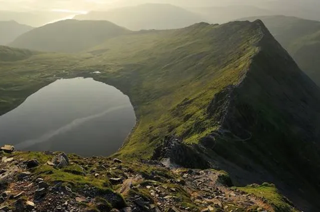
Helvellyn
Keswick CA11 0PU, United Kingdom
4.9(553)
Open 24 hours
Save
spot
spot
Ratings & Description
Info
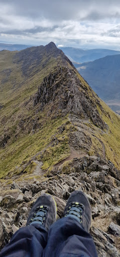
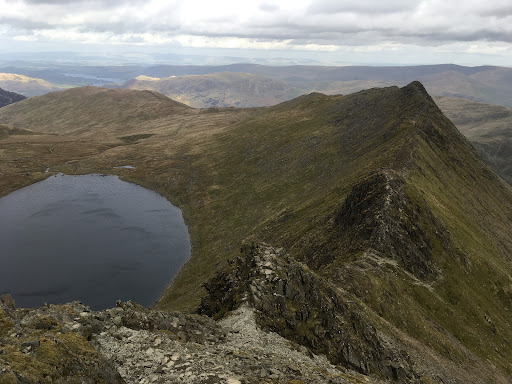
Helvellyn is a mountain in the English Lake District, the highest point of the Helvellyn range, a north–south line of mountains to the north of Ambleside, between the lakes of Thirlmere and Ullswater.
Outdoor
Adventure
Scenic
Off the beaten path
attractions: Red Tarn, restaurants: , local businesses:
Plan your stay

Pet-friendly Hotels in Great Britain
Find a cozy hotel nearby and make it a full experience.

Affordable Hotels in Great Britain
Find a cozy hotel nearby and make it a full experience.

The Coolest Hotels You Haven't Heard Of (Yet)
Find a cozy hotel nearby and make it a full experience.

Trending Stays Worth the Hype in Great Britain
Find a cozy hotel nearby and make it a full experience.
Reviews
Live events
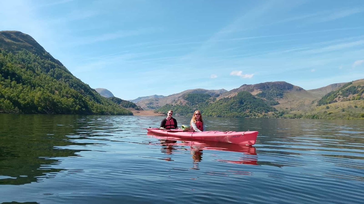
Lake District Kayaking Tour
Sat, Jan 17 • 10:00 AM
Glenridding, CA11 0PB, United Kingdom
View details
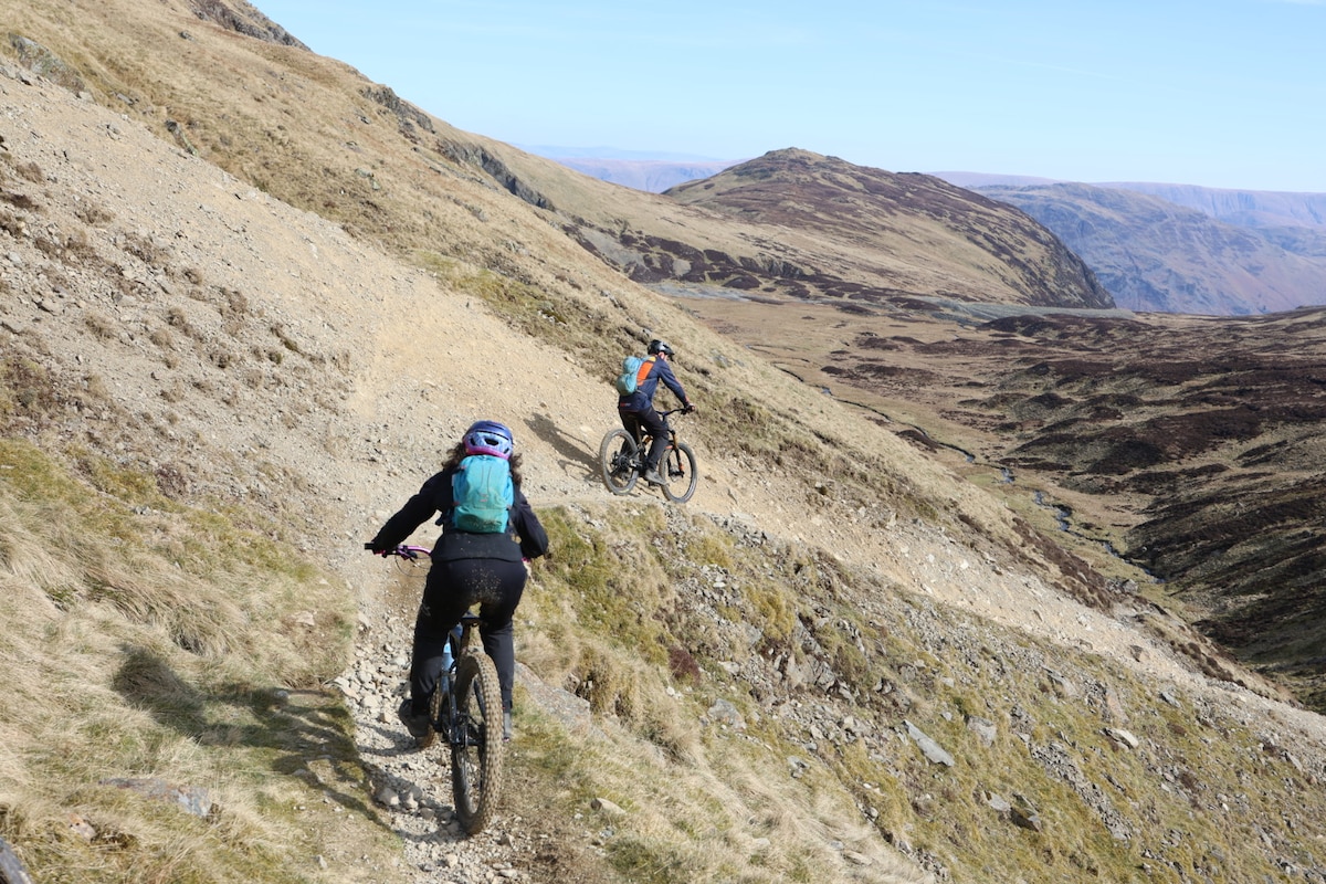
Mountain bike the Lake District
Wed, Jan 14 • 9:30 AM
Cumberland, CA12 5NY, United Kingdom
View details
Guided mountain photography of the Lake District
Wed, Jan 14 • 9:30 AM
Westmorland and Furness, LA22 9JU, United Kingdom
View details
Nearby attractions of Helvellyn
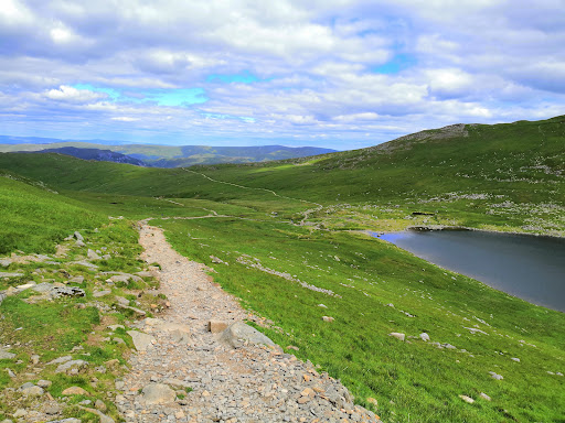
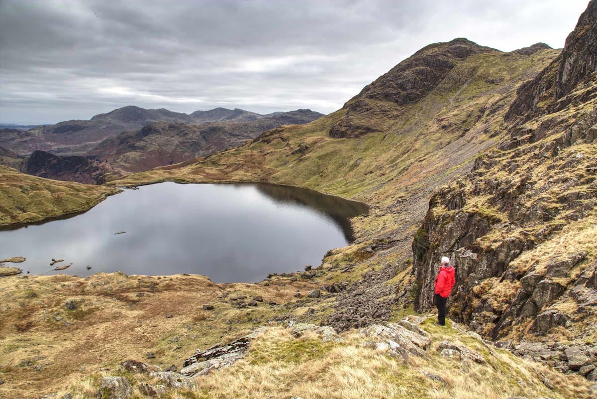
Red Tarn
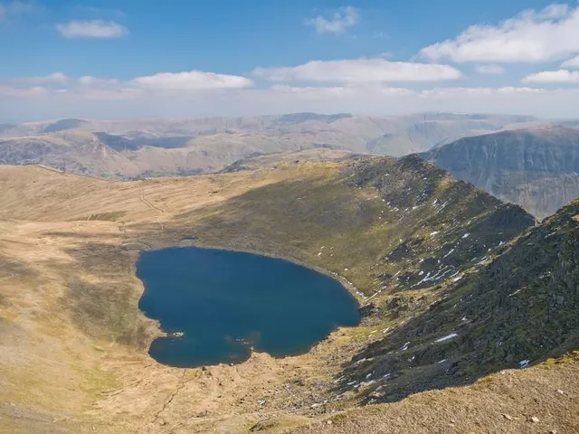
Red Tarn
4.8
(52)
Open 24 hours
Click for details