Three Shires Head things to do, attractions, restaurants, events info and trip planning
Basic Info
Three Shires Head
53.2138,-1.9869, United Kingdom
4.7(477)
Open until 12:00 AM
Save
spot
spot
Ratings & Description
Info
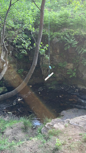
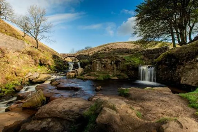
Three Shire Heads is the point on Axe Edge Moor where Cheshire, Derbyshire and Staffordshire meet, at UK grid reference SK009685, or 53.213°N 1.987°W. It is on the River Dane, which marks the Cheshire border in this area.
Outdoor
Scenic
Adventure
Pet friendly
Off the beaten path
attractions: , restaurants: , local businesses:
Website
goyt-valley.org.uk
Open hoursSee all hours
MonOpen 24 hoursOpen
Plan your stay

Pet-friendly Hotels in High Peak
Find a cozy hotel nearby and make it a full experience.

Affordable Hotels in High Peak
Find a cozy hotel nearby and make it a full experience.

The Coolest Hotels You Haven't Heard Of (Yet)
Find a cozy hotel nearby and make it a full experience.

Trending Stays Worth the Hype in High Peak
Find a cozy hotel nearby and make it a full experience.
Reviews
Live events
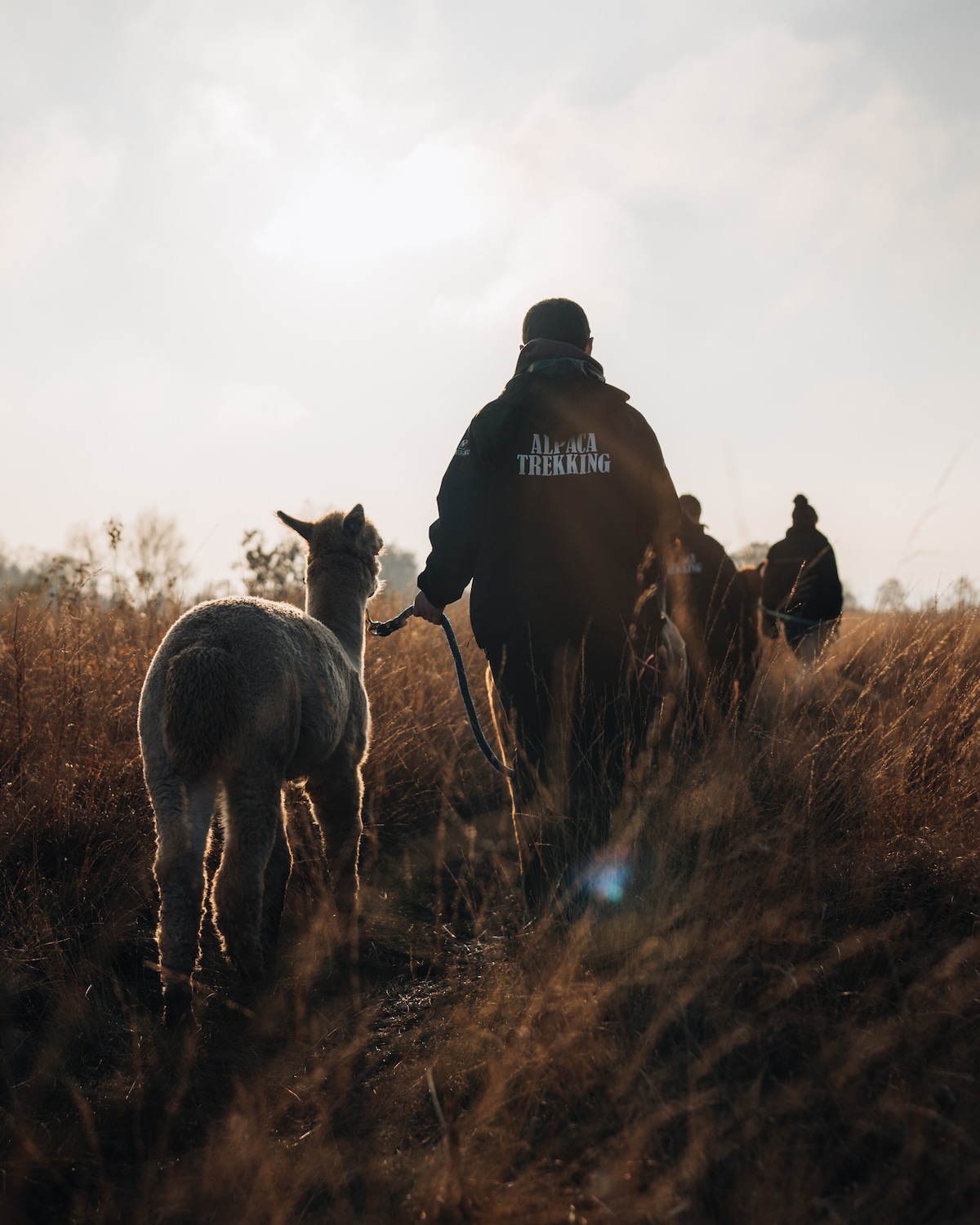
Trek with Alpacas & Donkeys on Wetley Moor
Tue, Feb 24 • 12:00 PM
Werrington, ST2 8LY, United Kingdom
View details
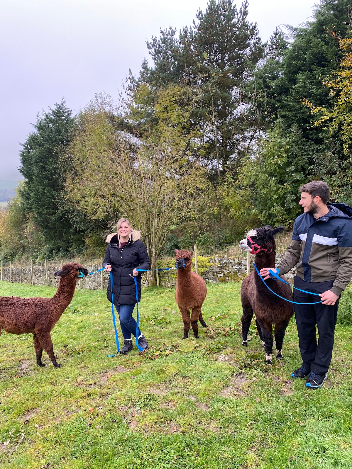
Private Alpaca Experience
Tue, Feb 24 • 10:30 AM
Tunstead Milton, SK23 7ER, United Kingdom
View details
Forest Bathing among Wild Herbs in the Peaks
Tue, Feb 24 • 2:00 PM
Grindleford, S32 2JA, United Kingdom
View details