Goatfell things to do, attractions, restaurants, events info and trip planning
Basic Info
Goatfell
Isle of Arran KA27 8JB, United Kingdom
4.9(195)
Save
spot
spot
Ratings & Description
Info
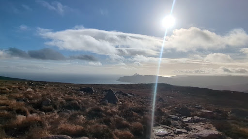
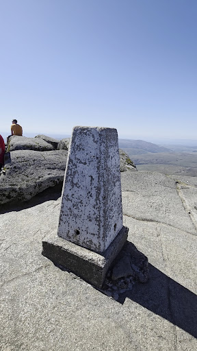
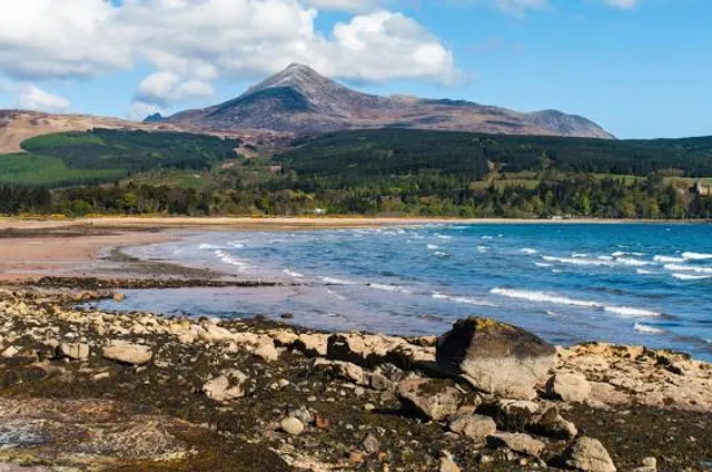
Goat Fell is the highest point on the Isle of Arran. At 874 metres, it is one of four Corbetts on the island. The mountain, along with nearby Brodick Castle, is now owned by the National Trust for Scotland.
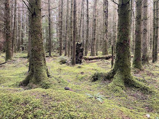
Outdoor
Adventure
Scenic
Off the beaten path
attractions: , restaurants: , local businesses:
Plan your stay

Pet-friendly Hotels in Scotland
Find a cozy hotel nearby and make it a full experience.

Affordable Hotels in Scotland
Find a cozy hotel nearby and make it a full experience.

The Coolest Hotels You Haven't Heard Of (Yet)
Find a cozy hotel nearby and make it a full experience.

Trending Stays Worth the Hype in Scotland
Find a cozy hotel nearby and make it a full experience.