Bigsweir Bridge things to do, attractions, restaurants, events info and trip planning
Basic Info
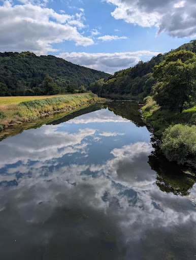
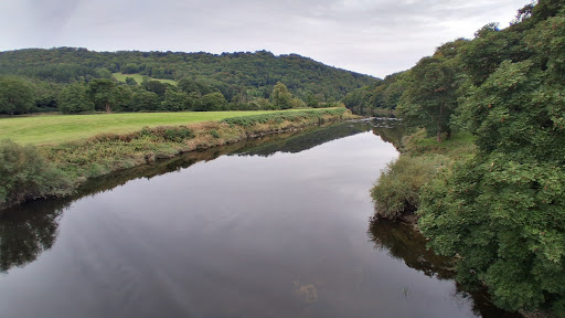
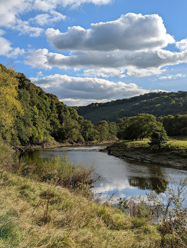
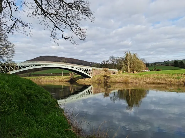
Bigsweir Bridge
Bigsweir Bridge, Monmouth NP25 4TS, United Kingdom
4.6(59)
Open until 12:00 AM
Save
spot
spot
Ratings & Description
Info
Bigsweir Bridge is an 1827 road bridge crossing the River Wye, straddling the boundary between the parish of St. Briavels, Gloucestershire, England, and Llandogo, Monmouthshire, Wales.
Scenic
attractions: , restaurants: , local businesses:
Website
historicbridges.org
Open hoursSee all hours
WedOpen 24 hoursOpen
Plan your stay

Pet-friendly Hotels in Trellech United
Find a cozy hotel nearby and make it a full experience.

Affordable Hotels in Trellech United
Find a cozy hotel nearby and make it a full experience.

The Coolest Hotels You Haven't Heard Of (Yet)
Find a cozy hotel nearby and make it a full experience.

Trending Stays Worth the Hype in Trellech United
Find a cozy hotel nearby and make it a full experience.
Reviews
Live events

Craft your own gin
Sat, Feb 28 • 1:30 PM
Monmouthshire, NP25 4RP, United Kingdom
View details

Hello Baby Antenatal Course - February 2026 - Oldbury Court
Fri, Feb 6 • 2:00 PM
Oldbury Court Children's Centre, Frenchay Road, Bristol, United Kingdom
View details

Newport Business Start-Up Course
Tue, Feb 10 • 10:00 AM
Bethel Community Church, 40 Stow Hill, Newport, United Kingdom
View details