Dawn Mine things to do, attractions, restaurants, events info and trip planning

Basic Info
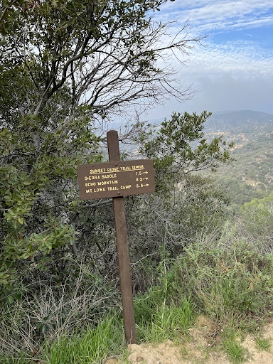
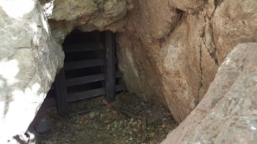
Dawn Mine
Altadena, CA 91001, United States
4.6(77)
Open until 12:00 AM
Save
spot
spot
Ratings & Description
Info
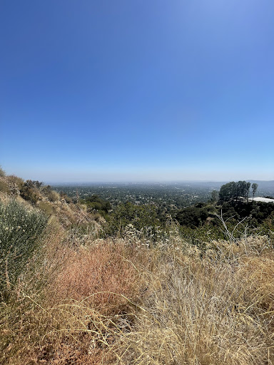
Outdoor
Adventure
Scenic
Off the beaten path
attractions: Echo Mountain Trail, restaurants: , local businesses:
Open hoursSee all hours
MonOpen 24 hoursOpen
Plan your stay

Pet-friendly Hotels in Altadena
Find a cozy hotel nearby and make it a full experience.

Affordable Hotels in Altadena
Find a cozy hotel nearby and make it a full experience.

The Coolest Hotels You Haven't Heard Of (Yet)
Find a cozy hotel nearby and make it a full experience.

Trending Stays Worth the Hype in Altadena
Find a cozy hotel nearby and make it a full experience.
Reviews
Live events

Bubble Planet: An Immersive Experience in Los Angeles
Mon, Feb 9 • 9:30 AM
634 Mateo St. Los Angeles, CA, 90021
View details

San Gabriel Valley Service Council
Mon, Feb 9 • 5:00 PM
3449 Santa Anita Avenue El Monte, CA 91731
View details

Daddy Daughter Date Night
Thu, Feb 12 • 5:00 PM
900 East Alosta Avenue Azusa, CA 91702
View details
Nearby attractions of Dawn Mine
Echo Mountain Trail

Echo Mountain Trail
4.8
(59)
Open 24 hours
Click for details