This is a nice hike. You have two entrances that you can drive up and park. Gravel roads.
Take a picture of the trail sign before you start. This will prove helpful as there are many ways to go. There is a paved trail at the bottom. You might be curious. We were and walked it. It's a dead end. Like don't even bother. Don't let your curiosity get the best of you.
We do the loop trail. And the North Trail.
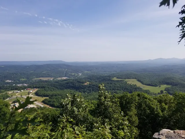
Make sure and do the North Trail. The rock stair cases take you there. Once you top, you will have three ways to go. Go straight or to your right (if you are looking at the signs). Both will take you to the lookout, which has great picture taking ops.
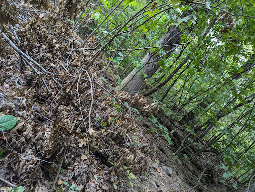
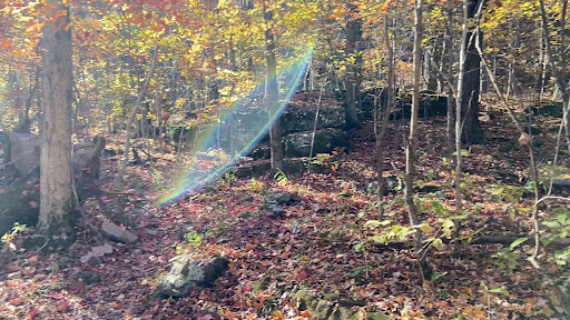
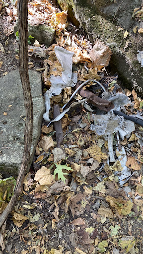
The loop trail takes you by the plane wreckage. There is also a big tree that has fallen on the path. Just go around it and get back up. Shortly after will be poison ivy. Be clothed as this will touch you. Probably about 6 feet you walk through. The loop trail has pretty views, but the trees block most of them so you only get to see glimmers. You might encounter rock climbers on this trail. Something neat on this trail.....look for the rock that has a hole in it. Great little photo op. If you go behind it, there is a like a slot boulder. I say boulder since it's two boulders done like a slot. Kind of a fun hidden gem.
Lastly, we encountered quite a few dogs on the trail...nice friendly dogs....you know what else we encountered? Lots of dog poop. So if you weren't watching, you would step one of the fresh poop bombs. If you are bringing a doggie, please be kind and bring a baggie to pick up the...
Read more