Birkhead Mountains Wilderness things to do, attractions, restaurants, events info and trip planning
Basic Info
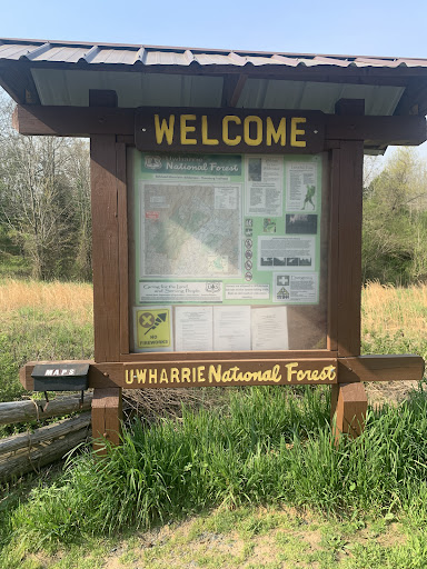
Birkhead Mountains Wilderness
Asheboro, NC 27205
4.6(93)
Open 24 hours
Save
spot
spot
Ratings & Description
Info
Outdoor
Adventure
Scenic
Pet friendly
attractions: , restaurants: , local businesses: Birkhead Mountains Wilderness
Phone
(828) 257-4200
Website
fs.usda.gov
Plan your stay

Pet-friendly Hotels in Asheboro
Find a cozy hotel nearby and make it a full experience.

Affordable Hotels in Asheboro
Find a cozy hotel nearby and make it a full experience.

The Coolest Hotels You Haven't Heard Of (Yet)
Find a cozy hotel nearby and make it a full experience.

Trending Stays Worth the Hype in Asheboro
Find a cozy hotel nearby and make it a full experience.
Reviews
Live events

Bringing Your Small Farm or Business Online: A Three-Part Series
Tue, Feb 10 • 6:00 PM
N.C. Cooperative Extension, Randolph County Center, 1880 US Highway 64 East, Asheboro, United States
View details

Adult Field Trips at Four Saints Brewing Company
Tue, Feb 17 • 6:30 PM
218 South Fayetteville Street Asheboro, NC 27203
View details

Log Cultivated Shiitake Mushroom Workshop - Ag Center
Wed, Feb 18 • 6:00 PM
1880 US Hwy 64 E, 1880 US Highway 64 East, Asheboro, United States
View details
Nearby local services of Birkhead Mountains Wilderness
Birkhead Mountains Wilderness

Birkhead Mountains Wilderness
4.5
(86)
Click for details